/reports/forecaster-notes/western-australia/2023/10/16/average-period-surf-ahead
Craig
Monday, 16 October 2023
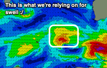
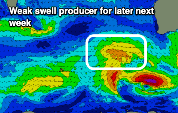
There's no swell of size or significance this period.
/reports/forecaster-notes/western-australia/2023/10/13/good-swell-the-weekend-decent-winds
Craig
Friday, 13 October 2023
A good swell is due on the weekend with strong winds tomorrow, cleaner but easing Sunday. Next week looks mostly average.
/reports/forecaster-notes/western-australia/2023/10/11/fun-run-waves-until-early-next-week
Craig
Wednesday, 11 October 2023
Better winds and fun swell pulses are due into the end of the week and weekend, deteriorating from Tuesday next week.
/reports/forecaster-notes/western-australia/2023/10/09/fun-swell-pulses-tricky-winds-the-south-west
Craig
Monday, 9 October 2023
There are a few fun swells on the cards this period but with tricky winds for the South West, best late week and on the weekend.
/reports/forecaster-notes/western-australia/2023/10/06/easing-surf-deteriorating-winds-dicey-next
Craig
Friday, 6 October 2023
Make the most of the current conditions as the weekend looks dicey, as does early next week.
/reports/forecaster-notes/western-australia/2023/10/04/strong-swell-end-the-week-clean-morning
Craig
Wednesday, 4 October 2023
We've got a large swell with favourable morning winds to end off the week ahead of a poor outlook next week.
/reports/forecaster-notes/western-australia/2023/10/02/improving-easing-xl-surf
Craig
Monday, 2 October 2023
XL surf for this afternoon and early tomorrow as conditions slowly improve, best later week in the South West.
/reports/forecaster-notes/western-australia/2023/09/29/poor-building-surf-cleaning-while-easing
Craig
Friday, 29 September 2023
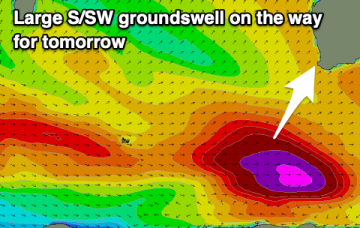
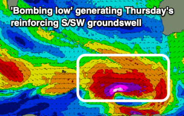
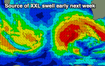
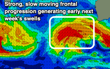
We've got a poor few days of surf with an XL swell for early next week, improving while easing into the rest of the week. A reinforcing large S/SW groundswell is also due late week.
/reports/forecaster-notes/western-australia/2023/09/27/easing-surf-winds-deteriorate-stormy-early
Craig
Wednesday, 27 September 2023
Make the most of today before conditions deteriorate into the end of the week. Early next week will be big and stormy.
/reports/forecaster-notes/western-australia/2023/09/25/good-surf-the-middle-the-week
Craig
Monday, 25 September 2023
A new pulse of groundswell is due mid-week along with favourable winds. Early next week will become oversized and onshore.

