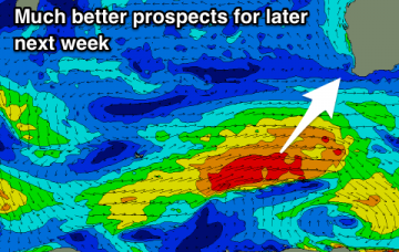
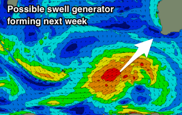
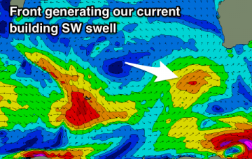
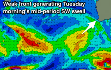
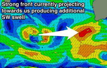
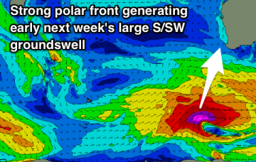
Onshore and small to tiny over the weekend, with a window early next week for a wave. Better swells developing from mid-week.
Primary tabs
No significant swells on the cards until late in the forecast period but there'll be fun waves at swell magnets for keen surfers to end of the week.
A fun mid-period SW swell from tomorrow, easing into the end of the week with improving winds. Not much for the weekend and potential early next week.
A couple of new swells over the weekend but only one small window of decent conditions. Another mid-period SW swell early next week but cleanest as it eases.
Easing surf into the end of the week but with limited surfing options. Better swells on the weekend but winds go onshore.
Average swells with less than ideal winds, with one day of decent surf, otherwise average. A better swell on the weekend but at this stage onshore.
Nothing great this coming forecast period, but a stronger swell is due Sunday, though cleaner mid-week.
Things start to wind down this forecast period with smaller swells and generally favourable winds each morning.
Large mix of S/SW and SW swells easing tomorrow but with dicey winds, much better from Wednesday.
Plenty of size during the coming forecast period but winds won't be ideal at the peaks in swell energy.

