/reports/forecaster-notes/western-australia/2023/01/02/easing-surf-ahead-more-activity-the-weekend
Craig
Monday, 2 January 2023
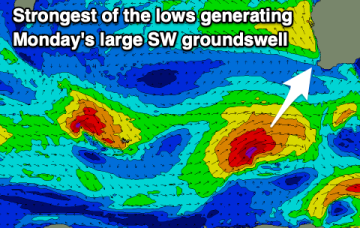
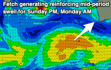
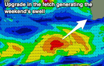
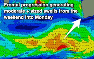
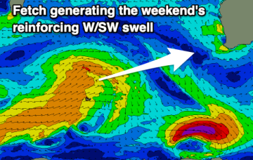
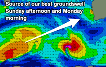
Cleaner conditions with easing S/SW swell over the coming days. We'll see the surf build through the weekend ahead of a large groundswell Monday.
/reports/forecaster-notes/western-australia/2022/12/30/windy-weekend-some-sizey-surf
Craig
Friday, 30 December 2022
Protected spots will fare best on the weekend, though be smaller. More options open up next week.
/reports/forecaster-notes/western-australia/2022/12/28/fun-tomorrow-morning-solid-surf-the-weekend
Craig
Wednesday, 28 December 2022
Easing surf with morning offshores tomorrow, deteriorating into Friday and then slowly improving on the weekend with plenty of size.
/reports/forecaster-notes/western-australia/2022/12/26/windy-surf-tomorrow-improving-wednesday
Craig
Monday, 26 December 2022
Fairly average conditions tomorrow, improving mid-week with a new swell and better winds.
/reports/forecaster-notes/western-australia/2022/12/23/strong-powerful-swell-sunday
Craig
Friday, 23 December 2022
Tomorrow looks fairly average ahead of a significant swell building through Sunday as winds deteriorate.
/reports/forecaster-notes/western-australia/2022/12/21/good-quality-swells-workable-winds
Craig
Wednesday, 21 December 2022
We've got a couple of quality groundswells due through the period with workable though not ideal winds.
/reports/forecaster-notes/western-australia/2022/12/19/large-swells-inbound-winds-out-the-south
Craig
Monday, 19 December 2022
Plenty of swell this period as winds become a little less favourable though still good for a variety of breaks.
/reports/forecaster-notes/western-australia/2022/12/16/good-conditions-and-surf-continue
Craig
Friday, 16 December 2022
The coming period looks fun with plenty of swell (small to tiny Mandurah/Perth) and with morning offshore winds.
/reports/forecaster-notes/western-australia/2022/12/14/great-conditions-fun-swells
Craig
Wednesday, 14 December 2022
The surf will bottom out tomorrow morning but increase from there, with fun swells due from the afternoon through most of next week.
/reports/forecaster-notes/western-australia/2022/12/12/good-run-winds-small-fun-swells
Craig
Monday, 12 December 2022
It's not overly special this period but there'll be some fun swell pulses with favourable morning winds.

