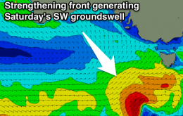
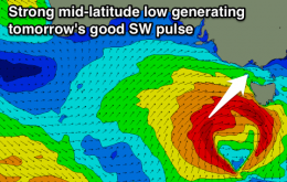
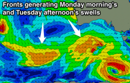
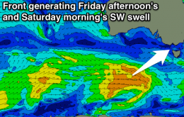
Fun SW swell but with moderate onshores tomorrow, with a better pulse Friday morning with early W/NW winds on the Surf Coast. A further pulse of SW swell Saturday with light to moderate onshores, easing Sunday and Monday with favourable winds for the Mornington Peninsula.
Primary tabs
Strong new SW swell tomorrow with fresh to strong SW winds, easing Wednesday with better W/NW winds around Torquay through the morning. Plenty of swell to end the week but less than ideal winds.
Easing clean swell early tomorrow morning ahead of a late morning onshore change. Building swell Sunday afternoon, better Monday morning with favourable winds for the Surf Coast. Plenty of swell through the rest of the week but onshore.
Easing swell with lingering light onshores tomorrow, smaller Friday morning as light onshores continue. New SW swell for the afternoon, easing Saturday and clean.
Onshore tomorrow, with a building SW swell for the afternoon, followed by a better pulse Wednesday morning with variable winds. Easing and onshore Thursday and likely Friday, clean again Saturday morning. Possible good SW swell for Sunday.
Easing SW swell, with improving conditions tomorrow as winds swing offshore through the morning. Small early window Sunday morning before onshores kick in again. Lingering onshore winds most of next week with fun swell pulses from later Tuesday.
Good W/SW groundswell tomorrow but with fresh S'ly winds, easing as a new SW swell fills in Friday with SE winds. Cleaner Saturday with E/NE tending N/NE winds ahead of sea breezes.
Easing surf with favourable winds for exposed spots tomorrow morning, onshore and tiny early Wednesday ahead of a late kick in W/SW groundswell, peaking Thursday but with fresh S'ly winds.
Fun new inconsistent SW swell tomorrow, touch smaller Sunday and easing Monday. Light variable winds each morning favouring both coasts.
No signficant swell with light variable winds each morning, good new SW swell Saturday, followed by a secondary pulse Sunday with favourable winds at this stage.

