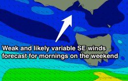
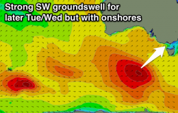
Fun levels of swell with variable winds each morning over the weekends, change moving through Monday morning, but improving again from Wednesday, best east of Melbourne.
Primary tabs
Plenty of swell but with SE-E/SE winds tomorrow, lighter and more variable and fun Friday morning. The weekend looks fun but winds are a touch dicey, check back Friday for more confidence on the local winds.
Building W/SW swell with favourable winds most of tomorrow, onshore Wednesday and then improving slowly for locations east of Melbourne from Thursday.
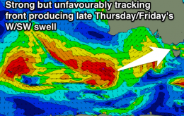
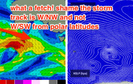
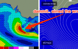
Most of these winds are aimed away from the Surf Coast, but the sheer strength will override the directional deficiencies and should allow for a healthy spread back into Bass Strait.
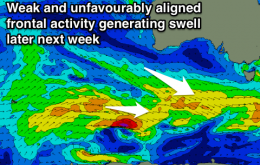
No major change to the forecast notes issued Monday. The swell period charts are still showing two swell fronts for the coming days; one through this afternoon and another early Friday.
The forecast for this week is still pretty complex even though there are no major weather systems expected to develop within our primary swell windows.
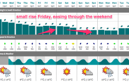
Today’s building groundswell is expected to level out into Saturday morning before a small reinforcing pulse pushes through during the day, then eases slowly throughout Sunday.
Nothing great expected for the rest of the week but it’ll be a small improvement over the last few days.
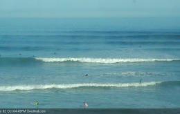
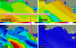
Note: our surf model is calling a peak on 5-6ft in Torquay late Tuesday (see image below) however I think this is probably a slight overcall, as the wave model is combining two swell trains into one.
Good options across the Surf Coast beaches and locations east of Melbourne tomorrow, clean everywhere Sunday. Plenty of swell due from Tuesday next week but with poor onshore winds.

