/reports/forecaster-notes/south-australia/2024/02/14/fun-surf-tomorrow-workable-weekend
Craig
Wednesday, 14 February 2024
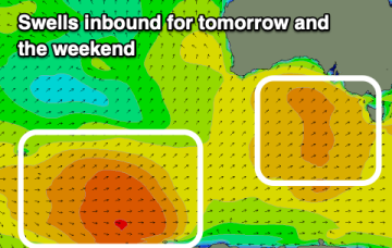
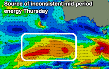
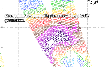
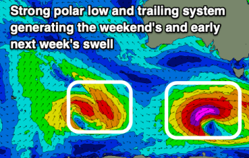
A good swell for tomorrow will be met with OK winds, with similar, workable windows due into Friday and the weekend.
/reports/forecaster-notes/south-australia/2024/02/12/trickier-period-nail-down-surf
Craig
Monday, 12 February 2024
The coming period isn't as good as the last two weeks, with windows of quality surf harder to pick.
/reports/forecaster-notes/south-australia/2024/02/09/large-surf-the-weekend-dicey-winds
Craig
Friday, 9 February 2024
The coming weekend is active for surf but winds won't be as favourable as last week, best Sunday morning.
/reports/forecaster-notes/south-australia/2024/02/07/strong-swell-the-weekend-not-good-last
Craig
Wednesday, 7 February 2024
Average end to the week with a large swell for the weekend but with only a small window of good conditions.
/reports/forecaster-notes/south-australia/2024/02/05/the-come-down-real
Craig
Monday, 5 February 2024
After a great run of surf, the coming outlook is far from a soft landing.
/reports/forecaster-notes/south-australia/2024/02/02/strong-swells-the-weekend-worth-capitalising
Craig
Friday, 2 February 2024
Winds will be favourable for the South Coast on the weekend with back to back strong swells while the Mid Coast will see novelty surf.
/reports/forecaster-notes/south-australia/2024/01/31/lots-swell-inbound-improving-winds-the-south
Craig
Wednesday, 31 January 2024
The coming period is very active with large swell pulses due as winds improve for the South Coast.
/reports/forecaster-notes/south-australia/2024/01/29/plenty-swell-come-tricky-winds
Craig
Monday, 29 January 2024
The coming week will be cleanest in the gulf but small to tiny. A window of cleaner surf down South is due on the weekend.
/reports/forecaster-notes/south-australia/2024/01/26/improvement-in-wind-outlook-the-weekend-down
Craig
Friday, 26 January 2024
There's no change to the incoming W/SW swell but the South Coast looks to offer a window of cleaner conditions early tomorrow.
/reports/forecaster-notes/south-australia/2024/01/24/good-wsw-swell-the-weekend-favourable-winds
Craig
Wednesday, 24 January 2024
A fun run of W/SW swell is due from late week though cleanest on the weekend as it slowly eases.

