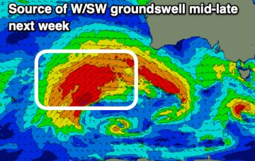
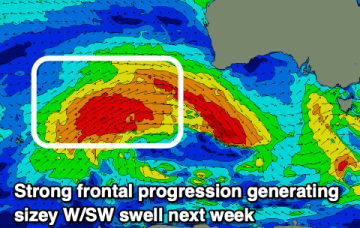
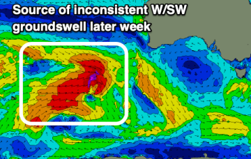
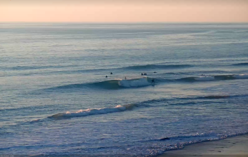
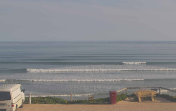
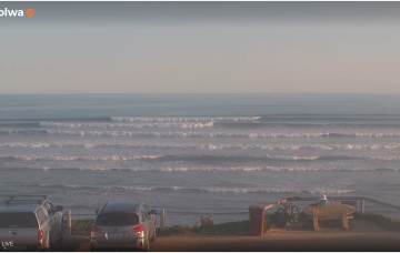
The South Coast is the pick of the coming days before things deteriorate into Sunday. A large W/SW and S/SW groundswell are due next week but with mostly poor winds.
Primary tabs
Varying winds are due through this period along with some fun swell that will mainly favour the South Coast. The Mid will see more action next week.
The coming days will be generally small with improving winds for the South Coast and a new swell later week.
Overall, there’s no major change to the weekend outlook, with easing swell from today expected to merge with two small new swells from distant sources.
Building swells today will peak overnight and then gradually ease through Thursday, though trailing SW winds behind the front will maintain poor conditions down south.
We’ve got two new swells for the weekend, in addition to the existing, easing swell from Friday.
As for surf, the overarching trend is for several overlapping pulses to provide plenty of waves across both coasts, though it'll be a slow start down south owing to the dominant westerly direction.
There’s been a slight improvement in the weekend outlook - for Victor, anyway - with the models strengthening a series of fronts through the Bight. The Mid's looking great too!
The swell charts look active for the weekend and the dominant westerly swell direction will continue to favour the Mid Coast for surf potential.
The main features for the weekend are a rapidly easing swell and a steadily abating wind that'll tend westerly on Saturday before becoming light and variable on Sunday.

