Plenty of waves, but tricky conditions
South Australian Surf Forecast by Ben Matson (issued Monday 18th September)
Features of the Forecast (tl;dr)
- Easing surf Tues with good winds for the South Coast
- Strong building swell both coasts Wed but very windy
- Solid and bumpy down south Thurs
- Plenty of surf on the Mid Thurs, with steadily improving conditions
- Small and clean Fri
- Small waves down south for the weekend, not much on the Mid
- Small waves on both coasts for next week
Recap
We've had an excellent run of waves throughout the state. W/SW swells built from 2ft to 3ft on the Mid Coast Saturday, and pulsed in and around this size range through Sunday and Monday, though consistency has eased slowly through the period, and there are now very long breaks between the sets. Winds have been generally light throughout the gulf, so conditions have been clean. Victor Harbor offered clean small waves on Saturday, but the new groundswell pushed a little higher than expected Sunday, and the anticipated onshore breeze kicked earlier than forecast. Today's seen strong but lumpy, easing surf with variable winds.

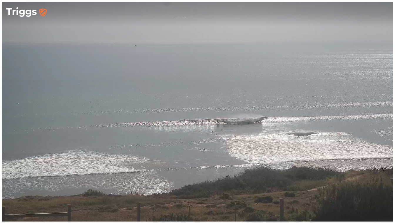
Still some decent sets on the Mid this afternoon
This week (Sep 19 - 22)
We’ve got another active week of surf ahead, with the Southern Ocean still quite busy with a powerful frontal conveyor belt pushing under the continent.
We’ll see slowly easing size into Tuesday with freshening NW tending W/NW winds that’ll be ideal for the South Coast, ahead of strong to gale force W/NW tending W/SW winds on Wednesday as the main front clips the coast. Expect fun 3-4ft surf early Tuesday across the Middleton stretch, easing slowly through the day.
Wave heights will temporary ease to a very slow 1-2ft on the Mid Coast Tuesday morning and we may see a brief period of light onshore winds, however they'll strengthen through the day, creating bumpy conditions. Building size into the afternoon should reach 3ft from a mix of new groundswell and local windswell.
Fresh W'ly winds will persist on Wednesday with 2-3ft of underlying groundswell and another foot of local windswell (so, some 3-4ft sets) though conditions won't be great under the persistent onshore flow.
An early period of W/NW winds is possible at Victor but otherwise expect blustery conditions from the west all day. Surf size should rebuild to 4-5ft at Middleton. Exposed spots will be considerably larger but too wind affected.
Currently modelling suggests the last front in the series will cross the coast overnight Wednesday, so moderating SW tending S'ly winds are expected for Thursday with 2-3ft+ surf on the Mid Coast gradually improving, in fact tt should become lumpy/clean by the end of the day. Light offshore winds on Friday will greet a slowly easing swell from 2ft+.
Victor will see solid onshore conditions Thursday improving with lighter winds on Friday, but no major quality is expected. You'll be better off on the Mid both days.
This weekend (Sep 23 - 24)
We’ve got two new swells for the weekend, in addition to the existing, easing swell from Friday.
The first new groundswell will probably make landfall at the buoys on Friday, with extra long peak swell periods (22-23+ seconds, generated by the phenomenal storm below South Africa over the last few days (see article here). Suffice to say, the enormous travel distance means we won’t see much size at the South Australian coast (the swell is better aimed into Indonesia, we are merely receiving small sideband energy).
The second swell will have been generated by strong but still-distant storm activity WA of WA, near Heard Island at the moment. It’s actually sourced (mainly) from NW gales ahead of a deepening low, but we’ll see the swell energy curve back through the Great Circle path into the state.
Locally, conditions look nice and clean with light winds both days - probably tending NE at some point, if anything - and wave heights should hold the 2ft+ mark at Middleton, with very long breaks between sets. Saturday morning should offer another foot or so from the easing Friday energy.
Along the Mid Coast it'll be small and clean both days, ideal for the grommets and those learning to surf. But nothing overly special.
Next week (Sep 25 onwards)
General synoptic expectations for next week are that the storm track will remain closer to WA longitudes than eastern Australia, which means no major size across our region, though the distant activity looks pretty strong so there should be some good waves available most days (wave heights will be small on the Mid, but there'll be enough to warrant a paddle every other day).
Such synoptic setups are also favourable for light winds, though we will be susceptible to south-easterlies at times, which may create issues at Victor.
More on that in Wednesday’s update.

