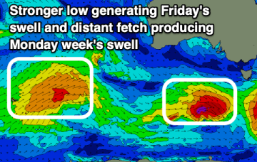
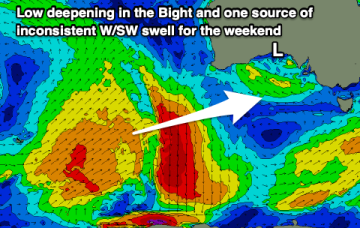
The weekend looks alright. And, it looks like the Southern Ocean storm track will finally get back into a rhythm next week.
Primary tabs
A stationary synoptic pattern for most of next week means generally poor surf across both coasts.
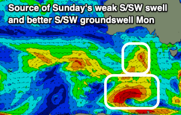
We’ve got a couple of small swells inbound over the next few days, but Sunday has the most potential.
Easing surf with favourable winds tomorrow, deteriorating thereafter and then fun again late week.
Improving conditions in the gulf through tomorrow morning with easing surf, clean, fun down South. A fun mix of swells are due Monday.
Make the most of the Mid today before winds increase into the end of the week. The South Coast looks generally smallish but clean most mornings.
We've got building west swell energy over the coming week as winds slowly deteriorate, while the South Coast has a couple of fun small surf days.
Plenty of swell for the Mid Coast with favourable winds and decent on the South Coast as well. There's plenty more west swell due mid-late next week as winds go back to the western quadrant.
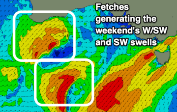
Plenty of size for the Mid Coast on the weekend with workable conditions Saturday, options on the South Coast over the period.
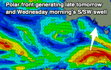
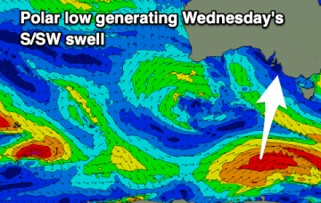
Besides tomorrow there'll be favourable winds and a fun swell from Wednesday, with a fun Mid Coast swell for the weekend, onshore down South.

