/reports/forecaster-notes/south-east-queensland-northern-new-south-wales/2021/03/05/weekend-solid-s
James KC
Friday, 5 March 2021
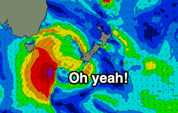
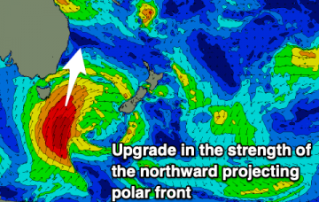
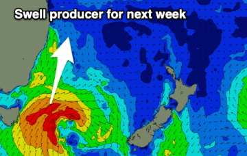
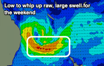
A prolonged, active and elongated polar front is set to provide multiple S pulses, arriving overnight and keeping plenty of energy in the water until at least Tuesday.
/reports/forecaster-notes/south-east-queensland-northern-new-south-wales/2021/03/03/window-tomorrow
James KC
Wednesday, 3 March 2021
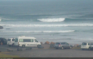
Decent waves tomorrow morning and then solid swell to last over the weekend and into the new week.
/reports/forecaster-notes/south-east-queensland-northern-new-south-wales/2021/03/01/lully-e-swell
James KC
Monday, 1 March 2021
Long range, inconsistent E Swell, then back to back S swells.
/reports/forecaster-notes/south-east-queensland-northern-new-south-wales/2021/02/26/small-and-soft
James KC
Friday, 26 February 2021
A summery weekend before you'll need to become patient with a long period E swell, then some S swells for later in the week.
/reports/forecaster-notes/south-east-queensland-northern-new-south-wales/2021/02/24/relatively-quiet
James KC
Wednesday, 24 February 2021
Weak E trade swell allows smaller wave options before things get a bit more active next week.
/reports/forecaster-notes/south-east-queensland-northern-new-south-wales/2021/02/22/one-last-pulse
James KC
Monday, 22 February 2021
One last pulse from that low and then a relatively quiet end to the week.
/reports/forecaster-notes/south-east-queensland-northern-new-south-wales/2021/02/19/solid-waves
James KC
Friday, 19 February 2021
A solid weekend of waves with better conditions on the cards. Next week we'll see a return to your more typical summer conditions.
/reports/forecaster-notes/south-east-queensland-northern-new-south-wales/2021/02/17/plenty-waves
James KC
Wednesday, 17 February 2021
Chunky SE swell turning E and then a low mixing it all up for a dynamic week of waves.
/reports/forecaster-notes/south-east-queensland-northern-new-south-wales/2021/02/15/stormy-wet-week
James KC
Monday, 15 February 2021
Plenty of swell, but winds will be mostly onshore and options limited to southern corners.
/reports/forecaster-notes/south-east-queensland-northern-new-south-wales/2021/02/12/average-weekend
thermalben
Friday, 12 February 2021
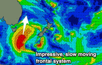
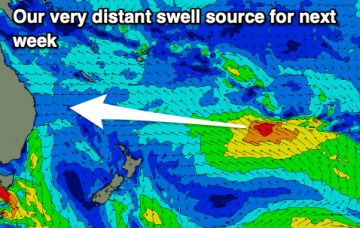
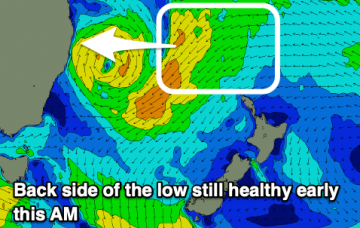
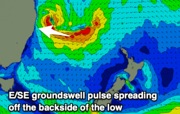
While all of this is going on, a weak tropical low near Fiji this weekend will have travelled south, before developing into an impressive multi-centred low pressure system off the West Coast of New Zealand’s North Island by Monday.

