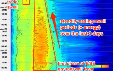
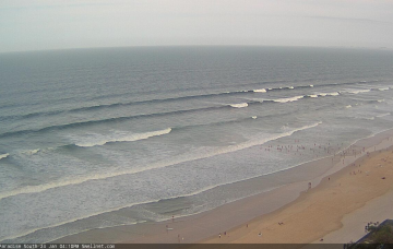
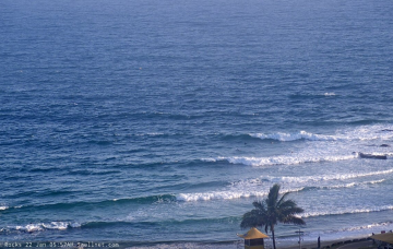
On the balance, there are no major changes to the Forecaster Notes for this upcoming cyclone swell event. There are a few small points of discussion worth tabling though.
Primary tabs
TC Uesi will properly enter our swell window on Tuesday morning, and right now it’s looking like it will push south-west towards Northern NSW through the middle to latter part of the week. More in the Forecaster Notes.
Of course, the surf outlook means nothing without a grip on local winds, and this is where things get a little fruity. More in the Forecaster Notes.
At this stage we can only discuss the weekend outlook with broad brushstrokes. But there are windows of opportunity to consider. More in the Forecaster Notes.
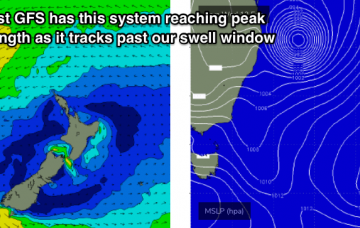
This enhanced trough/possible ECL setup will probably reach maximum strength later this weekend, and early next week will see a peak in surf size. More in the Forecaster Notes.
The outlook for next week remains very dynamic, with some great waves on the way. More in the Forecaster Notes.
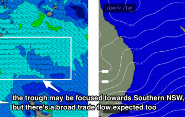
There’s always been a suggestion of a stationary trough somewhere along the East Coast, though it’s not been sure on where to place it (Southern NSW or Northern NSW). More in the Forecaster Notes.
Unfortunately, new swell sources are thin on the ground at the moment. But there are good options for the long term outlook. More in the Forecaster Notes.
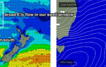
The arrival of today’s long range E’ly groundswell should be a cause for celebration, but unfortunately northerly winds will largely ruin surf conditions throughout the weekend. More in the Forecaster Notes.
It’s hard to find enthusiasm when we’re looking at 48 hours of gusty N’ly winds across all coasts. But, there are pockets of opportunity for keen surfers. More in the Forecaster Notes.

