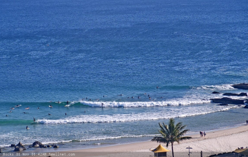
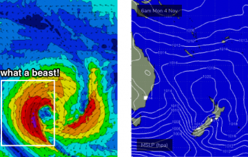
Wednesday morning looks potentially very fun in SE Qld and Far Northern NSW. And there's stacks of S'ly swell on the way (for Northern NSW). More in the Forecaster Notes.
Primary tabs
The fetches trailing each front will be considerably off-axis (aligned SW-NE) but they’ll generate some decent size, initially building through Saturday, peaking late afternoon or early Sunday. More in the Forecaster Notes.
Looks like there won’t be much juice left in the tank by Thursday morning. But we have some S'ly swell in store for the weekend. More in the Forecaster Notes.
A small low may form in the central/northern Tasman Sea overnight Tuesday in association with the change, holding southerly winds through our south swell window into Wednesday morning. More in the Forecaster Notes.
Persistent troughy conditions along the East Coast next week will bring about a wide range in surface conditions as winds swing around all points of the compass. More in the Forecaster Notes.
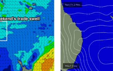
N/NE winds will remain the dominant influence on Northern NSW’s surf prospects for the next five days. Fortunately, we also have a building trade swell on the cards for SE Qld. More in the Forecaster Notes.
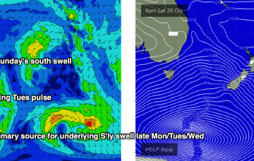
We’ve got a series of overlapping southerly swells on target for the entire NSW coast. However, winds are looking dicey for most of the region south of Ballina or Yamba. More in the Forecaster Notes.
There's a multitude of swells on the horizon, each of which looks pretty flukey though. More in the Forecaster Notes.
OK, we’ve got three days of northerlies ahead (potentially four for those of you north of Ballina), with only one window of light winds to capitalise on. More in the Forecaster Notes.
First things first - we’ve got an extended period of mediocrity across SE Qld. More in the Forecaster Notes.

