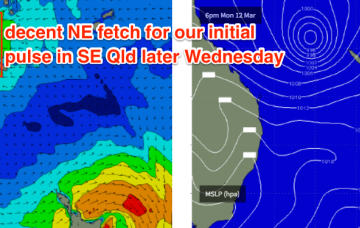
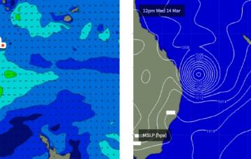
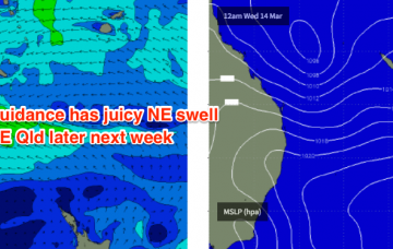
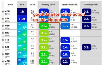
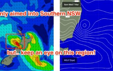
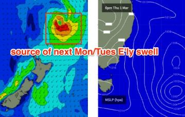
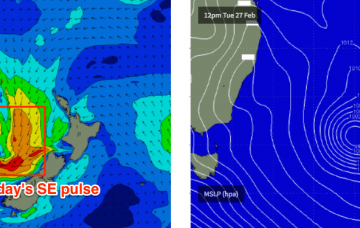
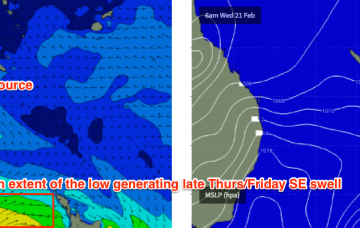
So, the swell models are still calling for some serious size into Thursday but I now believe that this is a reasonable overcall.
Primary tabs
I though we’d seen a few complex synoptic charts over the last month or so, but the current outlook takes the cake.
We’ve got a multitude of swell sources on the cards from every quadrant of our swell window, but I suppose with all eyes on the Gold Coast for the Quiksilver Pro kicking off Sunday, I’d be best off honing in on the obvious.
No changes to Monday’s forecast, as a steady synoptic pattern prevails for the rest of the week.
As the ridge then strengthens into Wednesday we’ll see a concurrent increase in short-tending-mid range SE swell.
Wave heights will slowly ease all weekend, and with winds out of the north your best options will be south of the border at exposed south swell magnets.
Today’s SE swell will initially ease back in size, and ahead of the change we’ll see light to moderate NW winds, so there’ll be great waves across the beaches.
Across SE Qld, winds will be ideal for the points for the next few days but the strong southerly component will severely restrict wave heights.
Looks like a pretty ordinary weekend ahead.
Also in the mix across SE Qld will be a local E/SE swell from the fetch right on our doorstep (generating the locally breezey conditions).


