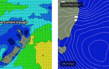
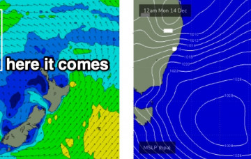
The whole synoptic cycle seems to have been pushed back a day since Friday’s notes were prepared. More in the Forecaster Notes.
Primary tabs
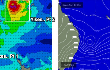
A series of complex tropical systems are forming to our north and they’re going to heavily influence our surf, wind and weather over the coming days. More in the Forecaster Notes.
We’ve got a heck of a lot of easterly swell on the way, but the weekend will be generally much smaller than the sizeable energy due next week. More in the Forecaster Notes.
A series of strong lows and fronts across our broader south swell window will set up a series of southerly swells for the next few days. More in the Forecaster Notes.
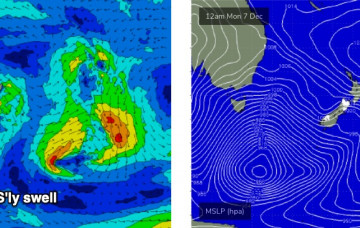
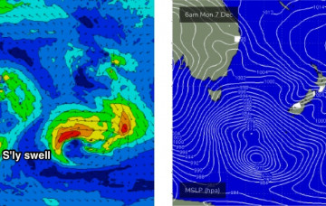
Sunday’s front will be attached to a large, complex series of low pressure systems crossing the Tasmanian divide early in the week. More in the Forecaster Notes.
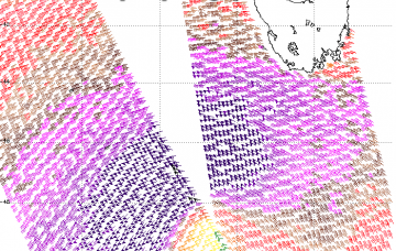
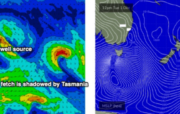
The image below shows storm force winds around the low, and also highlights the main headache I have at the moment - working out how much of this fetch is shadowed behind Tasmania, and how much sits just inside the western periphery of our acute south swell window. More in the Forecaster Notes.
The main synoptic feature is a deep Southern Ocean low that's expected to *almost* bomb just W/SW of Tasmania. By ‘almost’, I mean ‘not quite reach the threshold requirements for a bombing low’, which is a 24hPa drop in 24 hours, though it certainly will come pretty close. More in the Forecaster Notes.
The weekend outlook is pretty complex. Next week, even more so. More in the Forecaster Notes.
This afternoon’s fun SE swell should persist through Thursday, before easing slowly through Friday. Winds are a little tricky though. More in the Forecaster Notes.
Tuesday’s south swell will ease quickly into Wednesday, and we’ll see a temporary low point early morning, ahead of a new SE swell from the southern flank of the Tasman Low. More in the Forecaster Notes.

