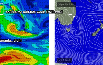
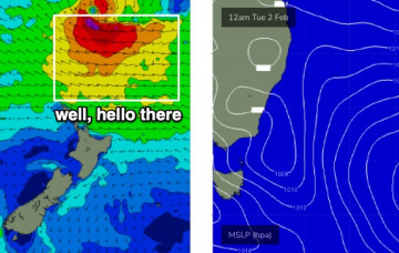
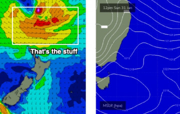
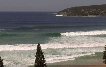
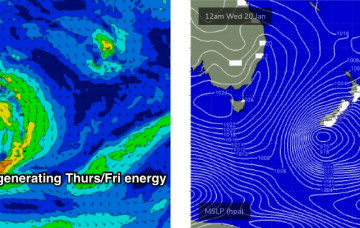
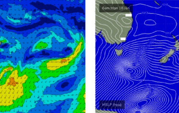
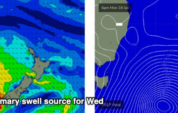
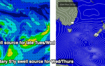
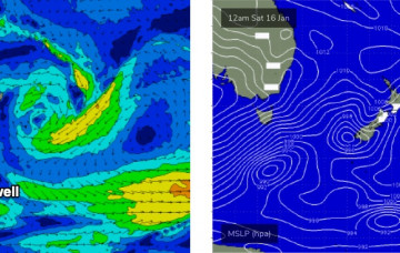
The northern Tasman Sea and South Pacific remains very active under the influence of an MJO, and we’re still on track for a sustained run of sizeable E/NE swell for our region. More in the Forecaster Notes.
Primary tabs
Looks like a couple of crappy days ahead. It’s still a little too early to be confident in the specifics regarding next week’s outlook, but broad brushstrokes remain much the same as discussed on Monday. More in the Forecaster Notes.
Our broad scale south swell window is about to become a little quiet as the tropics fire up under the passage of an MJO phase. More in the Forecaster Notes.
The weekend looks pretty fun though certainly nothing compared to the last few days. Lotsa potential for the long term too. More in the Forecaster Notes.
One of the difficulties in preparing a forecast at a time like now, is trying to seperate the events of the last 24 hours from what’s expected over the coming days. More in the Forecaster Notes.
We’ve had a model upgrade for our approaching large southerly swell. More in the Forecaster Notes.
A slow moving, amplifying node of the Long Wave Trough will drive a series of vigorous fronts through our south swell window over the coming days, setting up an extended pulse of building southerly swells for Southern NSW. More in the Forecaster Notes.
As mentioned on Monday, we’ve got a strong southerly swell cycle on the boil. The weekend will see the early (small) stages of this pattern but the real juice is lining up for the first half of next week. More in the Forecaster Notes.
We’ve got a small week of surf ahead. Next week is a different story. More in the Forecaster Notes.
Conditions should become reasonably good across most coasts as winds tend light and variable under the influence of a new high pressure system moving in from the west. More in the Forecaster Notes.

