Crikey - the long term surf forecast got a heck of a lot more difficult over the last few days.
Primary tabs
We’ve got a complex weekend of waves but ultimately it’s looking pretty fun for SE Qld.
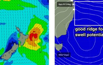
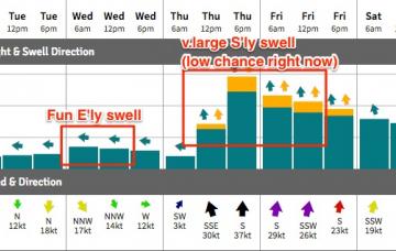
This strengthening ridge looks very interesting for SE Qld surfers in the long term, thanks to a possible Tropical Cyclone that’s expected to form near Vanuatu around Thursday.
The south swell currently on display across the region dropped rapidly across Southern NSW early this morning and we can expect a similar trend across our region into Saturday.
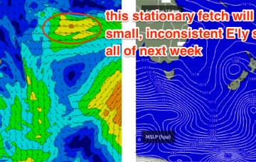
And that’s essentially it from our eastern swell window for the time being. A series of fronts will dominate the entire forecast period, and thus we’re looking at an extended period of south swell for the state.
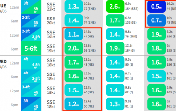
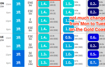
Dawn on Tuesday morning may possibly see a ‘low point’ in size between swells, but by mid morning we should see the leading edge of this new E’ly swell that is expected to reach a peak late in the day or overnight.
Over the weekend, a deepening surface trough south of Fiji is expected to form a nice easterly dip. This system looks like it’ll generate a nice flush of E’ly swell before it tracks into the swell shadow of New Zealand’s North Island (before re-intensifying and producing a large E’ly swell for the NZ East Coast mid-late next week).
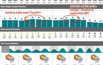
This freshening trade flow will generate a building short range E/SE swell for the SE Qld and Far Northern NSW coasts.
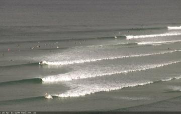
With this swell now the single source of energy in the water, it’d be quite possible to rock up and watch the surf for fifteen minutes and not see a single wave. So bear this in mind when choosing a populated lineup, as there won’t be many waves to go around.
I am also expecting a new E’ly swell to build through Saturday - a very distant, infrequent E’ly pulse from a broad, complex system way out in the South Pacific earlier this week.

