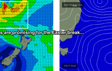
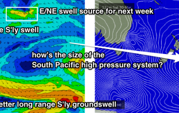
Looks like a broad trough spanning much of the western Tasman Sea over the weekend will evolve into a juicy swell generating system as a high pressure system develops to the east and south. More in the Forecaster Notes.
Primary tabs
We’ve got a multitude of small swell sources for the weekend, mainly out of the east. More in the Forecaster Notes.
We’ve got more of the same for the next few days. More in the Forecaster Notes.
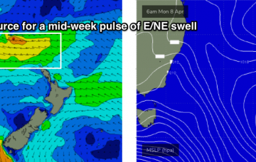
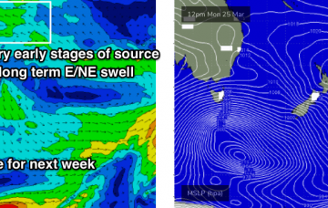
During the afternoon, the leading edge of a distant long period E/NE swell will make landfall, generated by an intense sub-tropical low developing well SE of Samoa at the moment (see chart below).
There’s been an upgrade in the strength of this evening’s developing NE tending N’ly fetch. And we've got a large south swell on the way too. More in the Forecaster Notes.
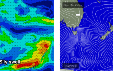
Today’s new south swell was the first in a series of southerly swell events (two of 'em!) that are expected to provide surf for the Southern NSW coast. More in the Forecaster Notes.
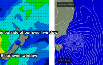
A large, powerful Southern Ocean low is tracking south of Tasmania. It’s quite an impressive system and even though it’ll be aimed outside of our swell window tomorrow morning as it clears east of Tasmanian longitudes, we’ll see a healthy percentage of southerly groundswell spread up the East Coast. More in the Forecaster Notes.
A tropical system near Fiji around Monday will slowly evolve into a decent swell generating system through the week. More in the Forecaster Notes.
Our swell windows are devoid of any major synoptic activity, and with our recent glancing southerly swell now exiting to the north, we have to look towards peripheral swell sources for the short term. More in the Forecaster Notes.
The models are showing a small long period S’ly swell across Southern NSW on Tuesday and Wednesday, around half a metre at about 14-15 seconds. More in the Forecaster Notes.

