Small pulses due from the southern and eastern swell windows, but lacking quality each day under persistent NE winds. Hitting it early is your only choice for a decent wave.
Primary tabs
A stubborn blocking ridge is residing over the Tasman Sea, deflecting any decent frontal activity well south of our swell window. Meanwhile, the eastern swell windows remain quiet, so we are in for a run of small, mediocre surf.
We are in for a mix of swells, all fairly small and insignificant with a brief window of light winds each morning. Saturday and Sunday look better with fresh swell winds staying lighter for longer.
After the recent run of swell, we are in for a week of small and insignificant surf with Tuesday and Wednesday morning being the pick of the bunch.
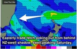
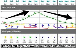
A solid E/NE groundswell is currently building across the coast and is due to peak in the 6-8ft range on Saturday afternoon, with sets potentially moving into the 10ft range at exposed reefs and bombies. Sunday should continue to see large swell, fading throuhgout the day.
Open beaches are still on track to see a large and powerful E/NE groundswell on the weekend, now looking to peak on Saturday. Sets should build to the 6-8ft range by the afternoon, with larger bomb sets potentially pushing 10ft at exposed bombies.
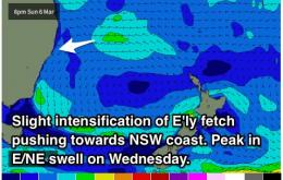
We are in for another round of solid E/NE groundswell, ebbing and pulsing from Tuesday until Thursday in the 3-4ft range, before becoming large and powerful into the weekend, with the potential to build to the 6-8ft+ range late on Saturday and Sunday morning.
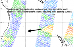
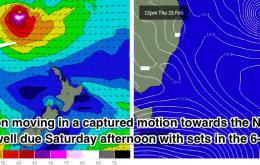
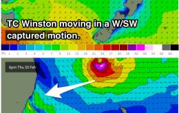
Inconsistent E/NE groundswell and new S/SE swell tomorrow with average winds from the south, remaining onshore Sunday as a new S'ly groundswell fills in. Building E/NE trade and cyclone swell from Winston through next week.
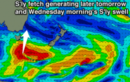
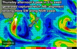
Plenty of size on the cards to end the week with a S'ly swell peaking on Thursay afternoon before fading throughout Friday. Also in the mix will be long range E/NE swell, providing less consistent but fun sets in the 3ft range across open beaches. Light offshore breezes each morning.
No shortage of swell this week, with solid groundswell filling in from the east/northeast and south. The early morning sessions will offer the best options, although Thursday is looking particulalry fun.

