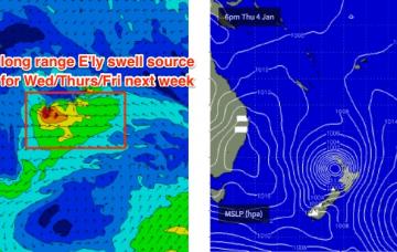
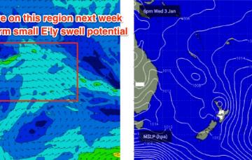
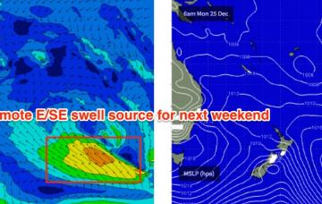
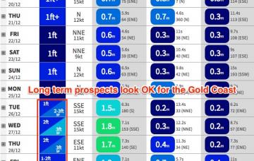
Next week has some potential.
Primary tabs
Sunday has some minor potential for SE Qld and Far Northern NSW.
Today’s E’ly swell will ease throughout Thursday and Friday.
We’ve got a small increase in swell due for Northern NSW over the next few days.
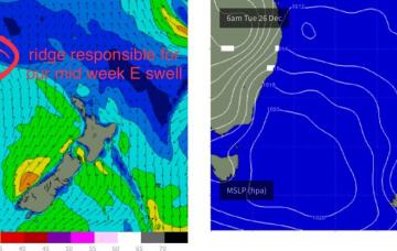
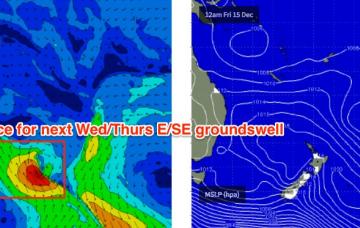
Fortunately, a ridge will build through the central Tasman Sea around the same time and this will build SE swells across the region through Tuesday, Wednesday and Thursday.
A trough moving up the coast will disrupt the N’ly flow off the Mid North Coast on Thursday.
South-east Queensland and Northern NSW Surf Forecast by Ben Matson (issued Monday 18th December)
Best Days: No great days. Maybe Thurs AM across the Mid North Coast with a small peaky NE swell and a temporary light variable breeze at some locations.
Recap: Stacks of E’ly swell over the last few days throughout SE Qld - easing groundswell Saturday and building tradeswell Sunday and Monday - but smaller south from Yamba.
The current E’ly swell will ease slowly through the weekend.
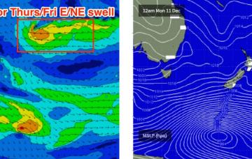
The small trade swell seen over the last 36 hours is on the way out, but will be replaced through Thursday with a fresh E’ly groundswell, generated by a broad E’ly dip NE of New Zealand earlier this week.
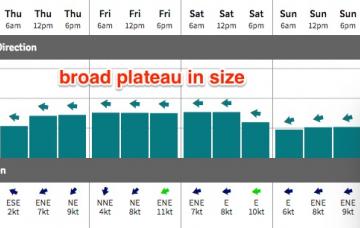
Thursday and Friday look much better right across the region, except the Mid North Coast which will fall under the influence of a freshening NE tending N'ly airstream.

