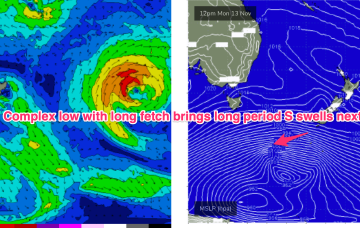
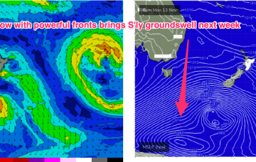
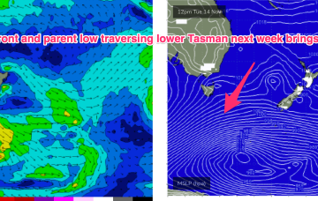
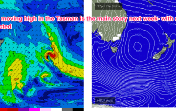
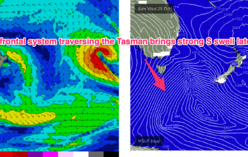
Much stronger frontal activity in the Far Southern Tasman tied to a deep, slow moving low will provide long period S’ly groundswell pulses next week, although winds are looking very tricky around a weak, troughy pattern.
Primary tabs
The pattern established on Mon is now well entrenched with a slow moving high in the Tasman slowly being squeezed on the western flank by approaching trough systems. A weak ridge up the sub-tropics has a lighter E’ly flow with stronger N-NE winds south of the MNC down to the South Coast. We’ll see this pattern with increasing NE windswell in Central NSW and some workable trade swell in the sub-tropics. A strong frontal progression is expected to provide a series of S swells next week.
The high initially weakens with a lighter onshore flow before re-strengthening as it approaches New Zealand and has the pressure gradient tightened on the western flank by the complex trough systems. That will produce a N’ly flow, expected to increase as the week goes on with increasing NE windswell late in the week and early weekend.
That NE windswell looks to be persistent under the slow moving pattern with high pressure drifting towards New Zealand. We should see an uptick in size through the second half of next week.
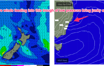
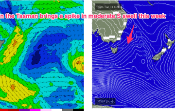
The deep Tasman low near the North Island has now dissipated and left the building with a small low in the Central/Southern Tasman supplying some S swell and an even smaller trough of low pressure off the Far North Coast. This pattern remains slow moving as large high slowly approaches from South of the Bight and multiple inland troughs supply unstable weather.
The Tasman low of sub-tropical origins which has sprayed the East Coast with swell is now just north of the North Island, with some swell generating winds still active to the west of the North Island, although quite limited in length. It’s deepened and is hammering the North Island.
We’ve still got the building blocks in place for large swells across most of the Eastern Seaboard, with a large high , powerful frontal system, and deepening trough (still expected to form a surface low) in the Northern Tasman currently in play.
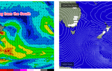
Spectacular charts more characteristic of late Summer/Autumn with a Cat 5 TC in the South Pacific bearing down on Vanuatu, and a powerful frontal intrusion poised to enter the Tasman Sea backed by a monster high in the Bight.
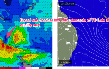
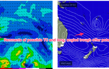
Late in the week, a combination of inland upper trough and a long angled trough extending from TC Lola remnants is expected to form a powerful surface low off the sub-tropical NSW Coast (likely between Lord Howe and Norfolk Is). As modelled, gales will produce a large E’ly quadrant swell event, with maximum size in Northern NSW, grading smaller into temperate NSW. A secondary October surprise that looks to be a major swell producer
No great change to the weekend f/cast. An approaching complex trough, front and low complex will see freshening N/NE-NE winds through Sat with only a brief period of light NW winds inshore early.

