Drop in S'ly swell tomorrow, kicking again late with a change, building further into Sunday with a mix of groundswell and mid-period energy. Easing surf into Monday and Tuesday, topped up with junky S'ly swell Wednesday.
Primary tabs
Slow tomorrow, possibly kicking late, much better Friday with all day offshores and a good S'ly swell. Fading surf Saturday, with a mix of new S'y swells Sunday, clean through the morning.
Surf size will ease rapidly through Tuesday and Wednesday.
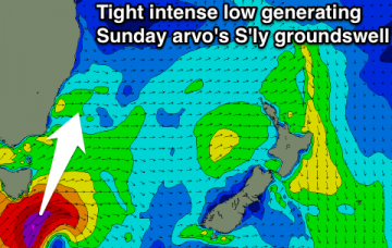
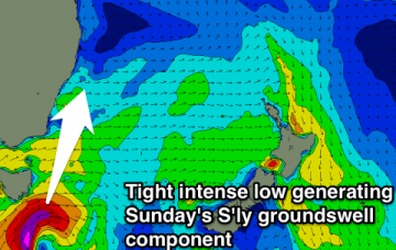
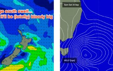
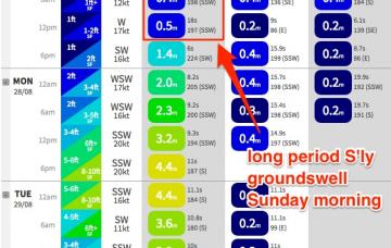
Core wind speeds around the responsible low have been clocked in well over 50kts so we’re looking at 18-19 second peak swell periods as the swell front hits; of which the sheer length and breadth of the fetch will ensure a very large swell event for Sunday morning.
We’re looking at overlapping south swells for much of the next five days.
We’re starting with a blank canvas, and the outlook is up, up, up as a series of stepladder south swells build across the region this week.
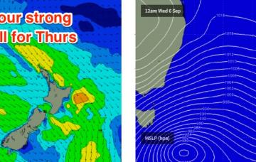
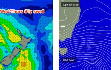
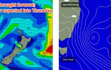
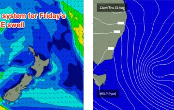
The southern and western flank of the Tasman Low responsible for yesterday’s swell is still active, mid-way between New Zealand’s South Island and Tasmania.
Friday still looks like the pick of the next few days.
This Tasman Low has already done most of its primary swell generation, so we’ll see wave heights start to ease off overnight and then continue downwards through Tuesday and Wednesday.
Sunday is complex from both a wind and swell perspective.

