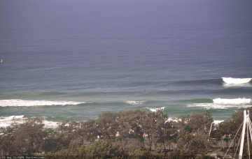
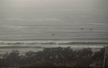
Model guidance still has a defined swell front glancing the coast. However, I’m still not confident that it’ll amount to any great increase in new swell. More in the Forecaster Notes.
Primary tabs
/reports/forecaster-notes/south-east-queensland-northern-new-south-wales/2020/08/26/lengthy-spell
thermalben
Wednesday, 26 August 2020
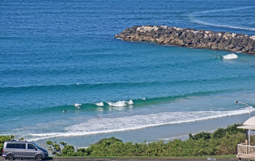
/reports/forecaster-notes/south-east-queensland-northern-new-south-wales/2020/08/24/more-south-swell
thermalben
Monday, 24 August 2020
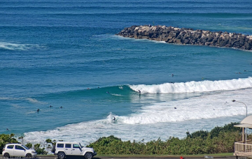
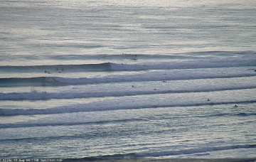
Judging by the swell trend across Southern NSW - which is still on the way up - we’re not likely to see a peak from this event until Tuesday afternoon. More in the Forecaster Notes.

/reports/forecaster-notes/south-east-queensland-northern-new-south-wales/2020/08/21/small-windy
thermalben
Friday, 21 August 2020
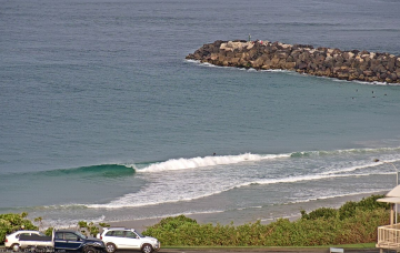
Windy conditions are expected both days this weekend. And there's some nice swell due next week. More in the Forecaster Notes.
/reports/forecaster-notes/south-east-queensland-northern-new-south-wales/2020/08/19/windy-conditions
thermalben
Wednesday, 19 August 2020
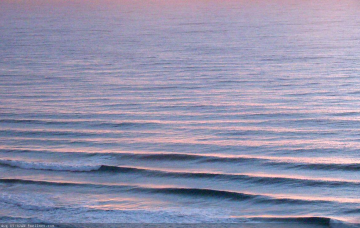
Winds will become fresh and gusty over the next four or five days. More in the Forecaster Notes.
/reports/forecaster-notes/south-east-queensland-northern-new-south-wales/2020/08/17/fun-ely-swell
thermalben
Monday, 17 August 2020
A new E'ly swell is inbound, but the fetch is/was not ideally aligned within our swell window so Southern NSW will pick up the most size, and we’ll see smaller surf as you head north from the Mid North Coast, along with decreasing consistency. More in the Forecaster Notes.
/reports/forecaster-notes/south-east-queensland-northern-new-south-wales/2020/08/14/flag-the-weekend
thermalben
Friday, 14 August 2020
The weekend looks a little patchy. But there's some interesting swells in store for next week. More in the Forecaster Notes.
/reports/forecaster-notes/south-east-queensland-northern-new-south-wales/2020/08/12/patchy-few-days
thermalben
Wednesday, 12 August 2020
The weekend looks a little drab in the forecast graphs, but there are possible options. More in the Forecaster Notes.
/reports/forecaster-notes/south-east-queensland-northern-new-south-wales/2020/08/10/large-and-windy
thermalben
Monday, 10 August 2020
Despite the charts looking impressive with a large peak due on Tuesday, the best surf will occur on the backside of this event. More in the Forecaster Notes.

/reports/forecaster-notes/south-east-queensland-northern-new-south-wales/2020/08/07/tricky-conditions
thermalben
Friday, 7 August 2020
First things first - the south swell building across Northern NSW today is actually somewhat delayed, as has also been the observation across Southern NSW. More in the Forecaster Notes.

/reports/forecaster-notes/south-east-queensland-northern-new-south-wales/2020/08/05/tricky-outlook
thermalben
Wednesday, 5 August 2020
There’s still a lot of uncertainty regarding a developing surface trough and possible ECL or Tasman Low off Southern NSW this weekend (and early next week). More in the Forecaster Notes.