/reports/forecaster-notes/sydney-hunter-illawarra/2016/11/04/strong-south-swells-sunday-onwards
thermalben
Friday, 4 November 2016
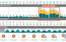
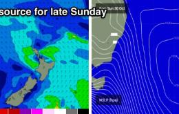
We’ve got a strong southerly swell due this weekend, originating from a vigorous front entering the lower Tasman Sea on Saturday morning.
/reports/forecaster-notes/sydney-hunter-illawarra/2016/11/02/stacks-south-swell-sunday-onwards
thermalben
Wednesday, 2 November 2016
Today’s south swell has me a little on edge.
/reports/forecaster-notes/sydney-hunter-illawarra/2016/10/31/small-south-swell-tues-marginal-surf-all
thermalben
Monday, 31 October 2016
There’s not a lot of surf on offer this week.
/reports/forecaster-notes/sydney-hunter-illawarra/2016/10/28/average-weekend-ahead-brief-window-ne
thermalben
Friday, 28 October 2016
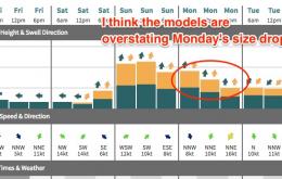
Sunday’s approaching cold front is expected to track a little faster across our region than previously modeled, and this has squeezed the potential window of good waves on Monday morning.
/reports/forecaster-notes/sydney-hunter-illawarra/2016/10/26/small-uninteresting-surf-ahead-southern
thermalben
Wednesday, 26 October 2016
The second half of this week looks pretty lacklustre.
/reports/forecaster-notes/sydney-hunter-illawarra/2016/10/24/large-easing-sse-swell-tues-onwards-then
thermalben
Monday, 24 October 2016
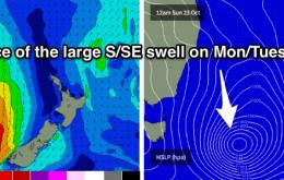
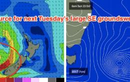
So, the currently oversized S/SE swell should persist into Tuesday morning before easing slowly throughout the day.
/reports/forecaster-notes/sydney-hunter-illawarra/2016/10/21/fun-ne-swell-sat-windy-building-surf-sun
thermalben
Friday, 21 October 2016
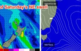
Despite the current easing trend in NE windswell, the fetch off the coast is expected to remain at strength overnight and into Saturday morning.
/reports/forecaster-notes/sydney-hunter-illawarra/2016/10/19/small-swells-until-sunday-possible-large
thermalben
Wednesday, 19 October 2016
Let’s hope the models don’t move around too much on this event as it’s one of the best looking synoptic charts we’ve had in many months.
/reports/forecaster-notes/sydney-hunter-illawarra/2016/10/17/small-surf-all-week-mixed-options
thermalben
Monday, 17 October 2016
Today’s westerly change has no redeeming features of than its influence on surface conditions.
/reports/forecaster-notes/sydney-hunter-illawarra/2016/10/14/easing-sly-swell-weekend-small-sources
thermalben
Friday, 14 October 2016
Not much more than an easing trend expected this weekend.

