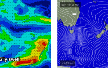
Today’s new south swell was the first in a series of southerly swell events (two of 'em!) that are expected to provide surf for the Southern NSW coast. More in the Forecaster Notes.
Primary tabs
A large, powerful Southern Ocean low is tracking south of Tasmania. It’s quite an impressive system and even though it’ll be aimed outside of our swell window tomorrow morning as it clears east of Tasmanian longitudes, we’ll see a healthy percentage of southerly groundswell spread up the East Coast. More in the Forecaster Notes.
A tropical system near Fiji around Monday will slowly evolve into a decent swell generating system through the week. More in the Forecaster Notes.
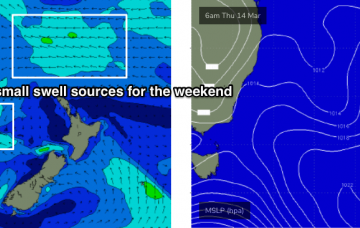
Our swell windows are devoid of any major synoptic activity, and with our recent glancing southerly swell now exiting to the north, we have to look towards peripheral swell sources for the short term. More in the Forecaster Notes.
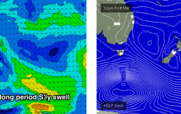
The models are showing a small long period S’ly swell across Southern NSW on Tuesday and Wednesday, around half a metre at about 14-15 seconds. More in the Forecaster Notes.
A coastal trough will linger about the region on Saturday, just north of Sydney, before moving south into Sunday, possibly forming a small low off the South Coast.
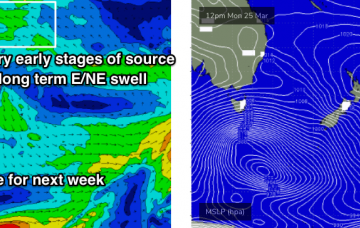
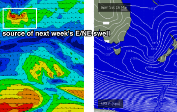
There isn’t a great deal of excitement expected for the next few days. However, a tropical system is expected to begin slowly deepening south from Tonga on Friday, and will generate a long lived E/NE swell event next week.
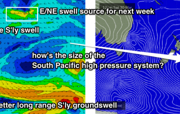
There’s a lot of interesting features on the long term charts, some of which are quite plausible, and some of which are much less certain and require a variety of circumstances to eventuate. More in the Forecaster Notes.
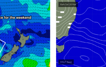
No change to the weekend outlook - it still looks pretty tricky.
The weekend looks a little tricky. And, the wave models are not properly picking up any of the swells I am expecting, so this reduces confidence in the outlook.

