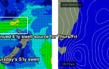
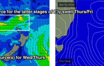
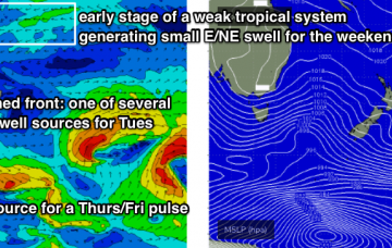
Normally, large swell events identified a long time away usually downgrade over time. Fortunately, this event for next week has maintained its strength, in fact we’ve seen small upgrades from forecast to forecast, which is very encouraging. More in the Forecaster Notes.
Primary tabs
There’s no major surf expected for the next few days. However, it won’t go flat either. Next week though.... More in the Forecaster Notes.
We’ve got two swell sources for the next few days. And an unreal E/NE groundswell lining up for next week. More in the Forecaster Notes.
Looks like a windy couple of days ahead, thanks to a strong ridge of high pressure over the eastern states, maintaining a fresh southerly airstream throughout much of the NSW coast. More in the Forecaster Notes.
Since Monday, the models have made some major changes in the structure of the low associated with today’s southerly change. More in the Forecaster Notes.
Tuesday looks pretty fun. But there's plenty of additional swell on the way. More in the Forecaster Notes.
I’m not expecting much surf on Saturday. On Sunday, a new long period S’ly swell will fill in across the coast, but timing will be the key here. More in the Forecaster Notes.
Thursday morning will be tiny to begin with. However, we've got some flukey south swell on the way. More in the Forecaster Notes.
So, the swell charts are flat-lined for the rest of the week. Though, the models had ~1ft surf for yesterday, and we ended up seeing occasional 3-4ft surf at south facing beaches. So, things aren’t always as they appear. More in the Forecaster Notes.
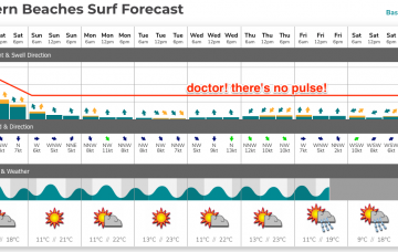
Make the most of Saturday, before we enter an extended period of small, flukey, peripheral southerly swells. There are still options though despite the flat-lined swell chart. More in the Forecaster Notes.

