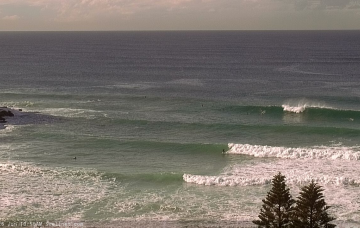
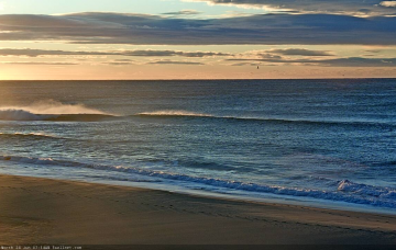
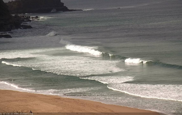
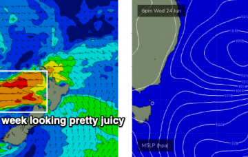
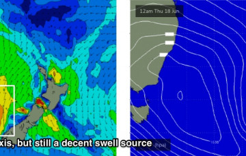
On Wednesday, we’ll see the arrival of two overlapping swells, generated by a deep polar low that pushed up underneath Tasmania today and will tonight project a strong front through the lower Tasman Sea. More in the Forecaster Notes.
Primary tabs
This polar low looks really good on the synoptics and will generate some excellent overlapping southerly swells. More in the Forecaster Notes.
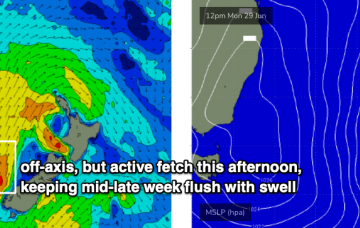
The fetch responsible for the last few days of great waves has remained active off the west coast of New Zealand, though is now slowly weakening and rotating outside of our swell window. More in the Forecaster Notes.
The swell source was very strong and sustained - and indeed, still is - however it was off axis from our swell window, and this will affect not only the size of the swell reaching Southern NSW compared to its northern counterparts but also the consistency. More in the Forecaster Notes.
There’s been yet another rejig in the model output regarding a new surface low in the lower Tasman Sea this weekend. More in the Forecaster Notes.
It’s an upwards trend from here. The weekend's looking good too! More in the Forecaster Notes.
Looks like a couple of small days ahead. Then, it's going to get solid. More in the Forecaster Notes.
We’ve had an upgrade in the weekend’s surf potential. More in the Forecaster Notes.
Our current southerly change will clear to the north overnight, leaving most regions with light variable winds on Thursday. The only exception is the Hunter coast (north from Sydney). More in the Forecaster Notes.
Peripheral swell sources are expected for the next few days. We've got plenty of surf later this week and into the weekend, and next week looks very interesting with a complex trough. More in the Forecaster Notes.

