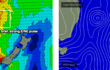
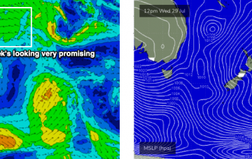
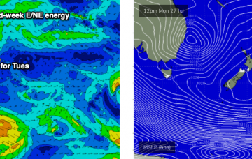
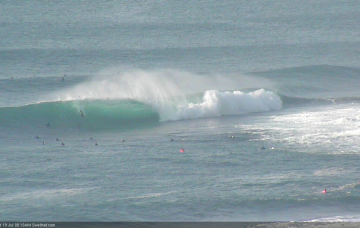
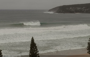
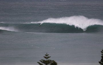
There’s no shortage of swell on the way. Just gotta work around the winds. More in the Forecaster Notes.
Primary tabs
There’s so much swell inbound from so many sources, it’s hard to keep track of it all. More in the Forecaster Notes.
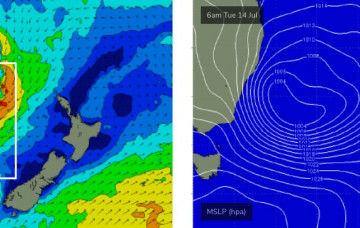
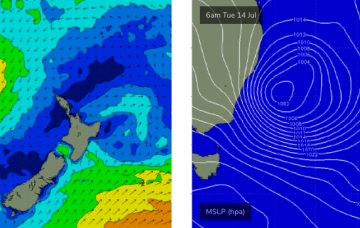
East Coast Low or Tasman Low? It currently looks like it’ll be the latter, but either way we’ve got a lot of swell and wind for early next week. More in the Forecaster Notes.
Although the last few days have underperformed out of the south, I’m not looking to downgrade the outlook for the next few days much at all. More in the Forecaster Notes.
Our extended run of SE swell will continue to slowly ease into Tuesday, and should be essentially gone by Wednesday afternoon. However, there’s plenty of new swell on the way. More in the Forecaster Notes.
Incredibly, the low in the Tasman Sea is still active right now and will still be generating swell for Southern NSW throughout Saturday and into Sunday morning. With an approx 1.5-2 day lag time across the basin, this means we’ll see easterly swell through the first half of next week. More in the Forecaster Notes.
There'll be no let up in the large and dangerous conditions until next week across the southern NSW coast. Winds will slowly abate and improve.
A 'bombing low' will deliver a significant and dangerous round of south-easterly groundswell through the coming period, only suitable to the most experienced.
Just to be super picky - this low may not end up being an East Coast Low, but instead an Easterly Trough Low (or more common, a boring old Tasman Low). More in the Forecaster Notes.
Looks like the ECL tipped in Monday’s notes is going to eventuate next week. And therefore, we’re looking at some pretty large, windy surf for a few days. More in the Forecaster Notes.

