/reports/forecaster-notes/south-east-queensland-northern-new-south-wales/2014/10/15/thursday-looking
thermalben
Wednesday, 15 October 2014
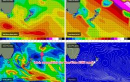
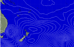
It's quite possible that the new energy is simply lagging a few hours behind model predictions, so I'm not going to write off Thursday's surf potential across the region at all.
/reports/forecaster-notes/south-east-queensland-northern-new-south-wales/2014/10/13/couple-o-windows
thermalben
Monday, 13 October 2014
The upside of this is that we're looking at a fun day of NE windswell in the Lower Mid North.
/reports/forecaster-notes/south-east-queensland-northern-new-south-wales/2014/10/10/poor-weekend
thermalben
Friday, 10 October 2014
A very ordinary weekend of waves ahead right across the SE Qld and Northern NSW coasts.
/reports/forecaster-notes/south-east-queensland-northern-new-south-wales/2014/10/06/extended-period
thermalben
Monday, 6 October 2014
Nothing amazing expected this week at all.
/reports/forecaster-notes/south-east-queensland-northern-new-south-wales/2014/10/03/solid-south-swell
thermalben
Friday, 3 October 2014
Across the Far North Coast this peak will occur in the mid to late afternoon. SE Qld will also see a late peak on Saturday but much smaller surf is expected here.
/reports/forecaster-notes/south-east-queensland-northern-new-south-wales/2014/10/01/active-period
thermalben
Wednesday, 1 October 2014
We’ve got a mixed bag across the region on Thursday.
/reports/forecaster-notes/south-east-queensland-northern-new-south-wales/2014/09/29/pumping-weekend
thermalben
Monday, 29 September 2014
We’ve got an excellent weekend of waves coming up for many beaches (caveat for Qld surfers: sorry, directional issues will generally work against you again).
/reports/forecaster-notes/south-east-queensland-northern-new-south-wales/2014/09/26/its-not-good-week
thermalben
Friday, 26 September 2014
We’re looking at an easing south swell across Northern NSW on Saturday, with very little size expected to make its way north of Byron and into SE Qld.
/reports/forecaster-notes/south-east-queensland-northern-new-south-wales/2014/09/24/mixed-bag-short
thermalben
Wednesday, 24 September 2014
Probably the best chance for a a decent amount of size and a wind swing is the Lower Mid North Coast.
/reports/forecaster-notes/south-east-queensland-northern-new-south-wales/2014/09/22/make-most-tuesday
thermalben
Monday, 22 September 2014
The current S/SE swell is expected to trend downwards steadily from Tuesday onwards, so make the most of what’s on offer now.

