Plenty of swell on the forecast, however local winds may cause an issue over the coming days. Initially, open beaches look to be bumpy for the best part of the day with options in the 2-3ft range rolling in. Then, the south facing beaches become the focus, with the potential for wind affected options in the 3-4ft range on Sunday.
Primary tabs
Easterly swell on the menu for the end of the week, peaking on Staurday morning. A southerly change is then due, providing a strong kick in southerly windswell, followed by a sustained southeasterly swell in the 4ft range. We are hoping for light/variable-southelry breezes from Tuesday, but the outlook remains somewhat uncertain.
Plenty of swell for the open beaches late in the week, however persistent onshore winds are looking to cause a few problems. Morning sessions will offer the lightest winds and cleanest conditions, but nothing epic. Surf building into the weekend and early next week.
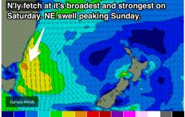
Pulses of swell coming at us from all angles. A northeasterly swell is looking to build on Saturday and Peak on Sunday across open beaches, cleanest each morning under light northerly breezes. A solid southerly swell is then expected to build into Wednesday, with the potential to exceed 4ft at south facing beaches.
A northeast windswell is due to build throughout the rest of this week, peaking on Sunday in the 3ft+ range. However, winds are looking dicey, so hit it early for the best conditions. A southerly change is due to provide the exposed beaches with a bit of size on Monday, limited by winds. Tuesday and Wednesday should then see the most significant south swell, possibly 3-5ft.
A steady stream of small northeasterly windswell is on the cards for the week ahead, plagued by persistent northeasterly breezes each day. Not uch in terms of southerly swell until early next week.
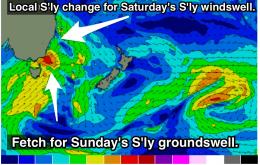
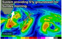
S'ly swell is on the cards for the weekend, with Sunday being the pick due to better quality swell and more workable winds. South facing beaches with northerly protection will be the key. Early next week, open beaches will be the focus as NE windswells build to around 2-3ft by Tuesday.
The end of the week is looking pretty small, however the weekend should see more size out of the south. This should then be followed by small, peaky A-frames of a NE windswell on Monday morning across the open beaches.
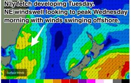
Average winds and mix of swells tomorrow, cleaner Wednesday morning with a mix of Ely, NE and S'ly swells, fading into the end of the week.
Easterly trade swell will be the primary source of surf this weekend, fading early next week. The morning sessions are looking good before a gusty seabreeze kicks in. Enjoy.

