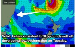
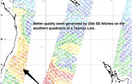
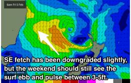
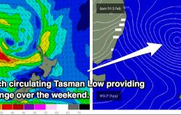
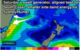
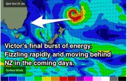
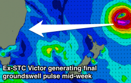
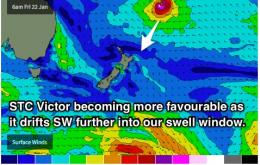
Open beaches look to be the focus over the coming week with small ebbs and pulses of easterly energy preceding a healthy long-range E/NE groundswell off a deepening tropical low. Longer term, we hope to see solid southelry groundswell of a front and cut-off low.
Primary tabs
Small clean waves each morning this week, best early before the high tide. New cyclone swell due early next week.
After a few days of stiff southerly breezes, the clean conditions are forecast to make a return each morning from Sunday. The surf should also be hanging in there, fading from the 3-5ft range on Sunday, easing further on Monday and Tuesday.
Hold out for Sunday! Until then, brisk southelry breezes are likely to lead to pretty diabolical conditions. From Sunday we should see early morning offshores each day into early next week.
Not much to work with for the early stages of the week, but the Tasman looks to become very active later in the week and across the weekend. Saturday and Sunday should pulse in the 4-5ft range, although winds look tricky.
Make the most of this weekend, it's likely to be the last decent surf for a while. Early stages of next week are looking pretty small as the swell windows take a break.
Thursday should see the last decent kick from Ex-TC Victor, before slowly fading. A gusty northerly fetch will generate a short range windswell, with small amounts of southeasterly swell also in the mix late week.
And the run of solid groundswell continues. The sets will ease slightly over the coming days to a low of 3-4ft on Wednesday, before a pulse provides more consistent sets in the 3-5ft range on Thursday. A shortern range NE and SE swell should then come into play late week and over the weekend.
TC Victor swell will be the best source of swell over the long weekend, but be patient, there will be a significant wait between waves. Don't paddle around, and share the sets. There will be a lot of punters this weekend.
Week NE windswells are on the cards in the short term, however the main focus is E/NE windswll generated by Severe Tropical Cyclone Victor. This swell is looking fun for open beaches right up until early next week with sets forecast to move into the 3-4ft range over the weekend.

