/reports/forecaster-notes/sydney-hunter-illawarra/2016/06/29/limited-options-keep-schedule-clear
Guy Dixon
Wednesday, 29 June 2016
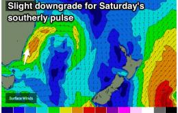
Fading swell to end the week before a brief S'ly pulse on Saturday.
/reports/forecaster-notes/sydney-hunter-illawarra/2016/06/27/clean-conditions-pulses-local-sly-swell
Guy Dixon
Monday, 27 June 2016
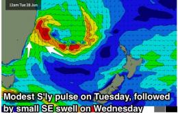
Make the most of Tuesday because the rest of the week is expected to become small. More size on Saturday.
/reports/forecaster-notes/sydney-hunter-illawarra/2016/06/24/strong-southerly-swell-weekend-plenty
thermalben
Friday, 24 June 2016
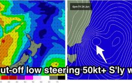
The models have moved around a little over the last few days regarding the development of the Tasman Low.
/reports/forecaster-notes/sydney-hunter-illawarra/2016/06/22/good-looking-weekend-shaping
Guy Dixon
Wednesday, 22 June 2016
Good quality options out of our southern swell window this weekend.
/reports/forecaster-notes/sydney-hunter-illawarra/2016/06/20/clean-each-day-solid-sly-swell-due
Guy Dixon
Monday, 20 June 2016
Offshore breezes are likely to keep conditions clean each day, with prospects of some sizey southerly energy over the weekend.
/reports/forecaster-notes/sydney-hunter-illawarra/2016/06/17/small-and-clean-saturday-wet-and-windy
thermalben
Friday, 17 June 2016
Today’s southerly swell is expected to ease in size overnight, and conditions should remain clean into Saturday with generally moderate NW winds.
/reports/forecaster-notes/sydney-hunter-illawarra/2016/06/15/solid-sly-swell-peaking-friday
Guy Dixon
Wednesday, 15 June 2016
Plenty of good S'ly options to end the week, but a strong, long period pulse looks to peak on Friday.
/reports/forecaster-notes/sydney-hunter-illawarra/2016/06/13/fun-week-waves-ahead-solid-south-swell
thermalben
Monday, 13 June 2016
We’ve got plenty of surf expected this week.
/reports/forecaster-notes/sydney-hunter-illawarra/2016/06/10/fun-beachies-saturday-good-mix-small
thermalben
Friday, 10 June 2016
Saturday looks like the pick of the weekend.
/reports/forecaster-notes/sydney-hunter-illawarra/2016/06/08/slowly-easing-ene-swell-remaining-clean
Guy Dixon
Wednesday, 8 June 2016
Offshore breezes are likely to persist until Saturday as E'ly energy slwly eases. S'ly swell is then due to build, with winds tending gusty S'ly.

