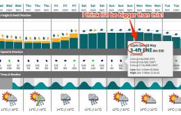
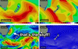
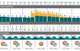
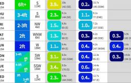
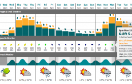
The whole synoptic pattern surrounding this developing trough and possible East Coast Low has been stalled by a day or so. This means we’re looking at building swells and mainly dodgy winds on Saturday, with a peak in size on Sunday and a better chance for improving conditions.
Primary tabs
Friday looks pretty dynamic, with the North Coast trough deepening considerably - possibly forming an East Coast Low - before the whole pattern drifts southwards.
Wave models have a minor reinforcement of E’ly swell due early Saturday morning, extending from the same fetch that produced today’s waves - essentially, an infeed of NE winds into the broad but slowly weakening Tasman trough
Our fun lovin' ECL is now dissipating into a broad trough encompassing the greater western half of the Tasman Sea.
The broader synoptic outlook is a little complex as the atmospheric models have a couple of solutions possible for the next few days.
As discussed all of last week, we’ve got a proper East Coast Low developing early next week, in the wake of Sunday’s southerly change.
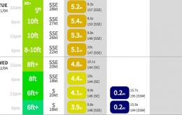
The current S/SE swell will continue a downwards trend for the next few days, but it’ll be supplemented by a small secondary pulse from the same direction on Thursday afternoon.
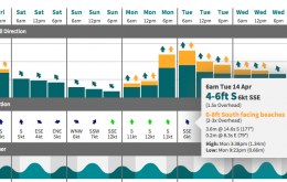
The timing of this south swell is quite unfortunate - we’re going to see it peak overnight and then trend downwards all day Tuesday.
We're still looking good for Saturday although wave heights will continue a steady downwards trend as they have this afternoon.
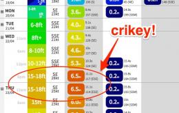
Large and windy: that’s the top line overview for Thursday.

