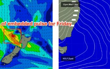
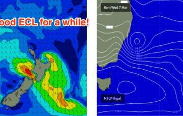
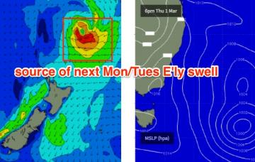
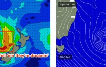
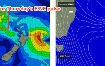
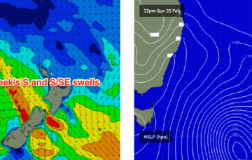
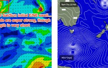
The ridge will then hold firm across the Northern Tasman Sea through the rest of the week and even into the weekend.
Primary tabs
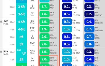
The weekend’s southerly change will be associated with a surface trough, which is expected to stall just below the Mid North Coast on Sunday, freshening southerly winds through our short range swell window as a Tasman Low develops in the central/southern Tasman Sea.
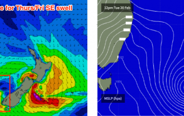
Model guidance has marginally sped up the arrival of the southerly change on Thursday morning so it looks like our final pulse of SE swell will largely go to waste.
It’s worth noting that the swell models seem to be replicating the same problem we saw with last Thurs/Fri's SE swell.
I’ve had better weeks at the forecast bench. Just quietly, I almost threw a tanty yesterday arvo.
The remnants of ex-TC Gita flared up off the West Coast of New Zealand’s South Island yesterday, and it’s generating a new SE swell that will arrive through Thursday.
As ex-TC Gita tracks towards New Zealand on Tuesday, it’ll reform off the West Coast and form a broad fetch of gales that will give rise to a brief flush of SE groundswell as we progress into Thursday.
I can’t in good conscience ignore a Cat 3 cyclone aligned really well within our swell window, aiming 50-60kt winds at such close range, and simply issue a size forecast that is also theoretically possible from a standard winter Tasman Low or an E’ly dip within a fully developed trade flow.
Relative to this particular swell window, STC Gita is an unprecedented weather system from a surf forecasting point of view.
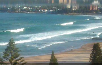
So, enough waffle.. how big is it gonna get?

