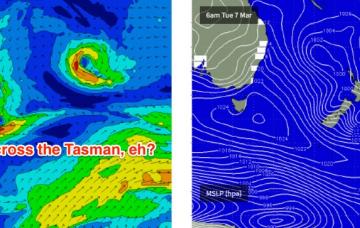
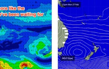
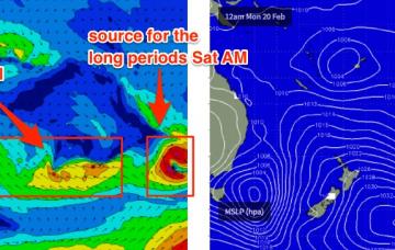
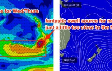
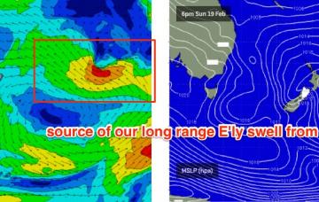
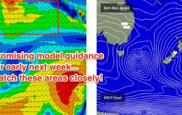
The key feature for the next 24 hours is a small fetch wrapping around the low, due east of the Hunter Coast this evening. This will be working on an active sea state generated by the current S’ly fetch pushing up the coast, and this will enhance wave heights into Tuesday - though mainly at south facing beaches in Northern NSW.
Primary tabs
It’s shaping up to be a great weekend for the open beach breaks, so find an empty stretch and get stuck into some A-frame goodness!
Model guidance still has a peak in size for tomorrow, which is plausible - however I think the models are a little skewed at the moment. They’ve undercalled the last few days, and tomorrow are combining two swell trains out of the east and north-east, which I think is slightly inflating prospective surf size, if only a smidge.
We’re looking at a gradual increase through Tuesday and Wednesday ahead of a peak in size on Thursday, before size trends down slowly into Friday.
We’ve got some super fun waves on the way for next week.
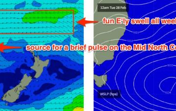
Looks like a whole week or more of fun trade swell ahead for the entire region.
Well, it’s nice to see a few days ahead without the capital “N” in the wind progs.
Let’s cut to the chase - northerly winds (along with a lack of swell) will severely limit quality surf options across all coasts this weekend.
A broad, multi-centered tropical low stretching from the northern Coral Sea through the South-western Pacific Ocean will remain slow moving for much of the forecast period.
The south swell that built across Southern NSW today should broaden its presence across Northern NSW on Tuesday.

