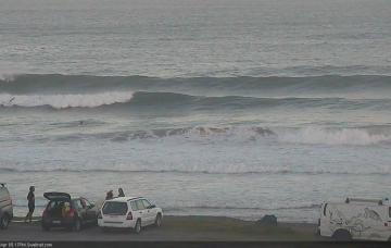
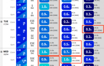
The only window of opportunity for a dawn patrol Saturday morning will be along the Sunshine Coast.
Primary tabs
A long range E’ly groundswell mentioned in Monday’s notes is still a possibility for Friday, generated by a deep sub tropical low well south of Tahiti over the weekend.
The only interruption to this is a possible long range E’ly swell from a deep subtropical low well east of New Zealand (and south of Tahiti) today.
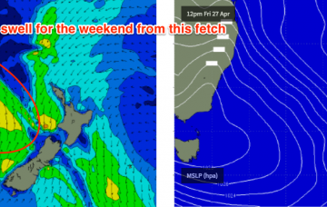
The current southerly change is interacting with a trough well south of New Caledonia, and is expected to broaden and deepen a low pressure system west of Auckland tonight, with a wide fetch of southerly gales on its western flank.
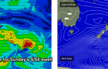
A strong ridge will develop through the Tasman Sea in the way of Friday’s gusty S’lies, and this will generate strong S/SE swells for the region this weekend.
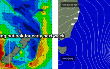
This Tasman Low is going to dominate the charts for some time.
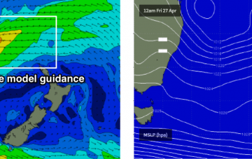
It’s way too early for any confidence on size and timing, but the short story is that the end of next week and next weekend is looking very dynamic, and likely very large at some coasts.
A new long period S’ly swell will push up during Thursday morning, generated by a polar low south of Tasmania earlier this week.
So, our recently spell of east swell has certainly drawn to a close, and the focus has swung to the south, thanks to a strong frontal passage through the Tasman Sea.
The SE swell has eased more rapidly than expected today, so I’m pulling back my expectations for Saturday’s waves.

