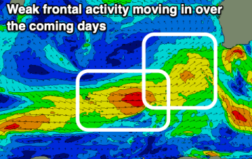
Weak fronts but workable swells over this coming period, worth making the most of before things go quiet next week.
Primary tabs
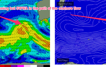
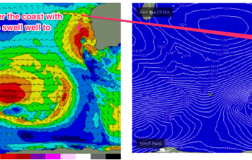
Winds will be poor though, and poor through to the middle of the week as the position of the long wave trough and a mid Indian Ocean high direct onshore winds into WA, with a series of rolling disturbances caused my cold fronts being pushed around a polar low slow moving between 90-100E.
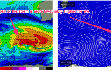
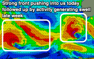
Swell production has been suppressed by an unfavourable node of the long wave trough and that is expected to partially break down over the weekend with a moderate strength storm located in the region between 80-100E between 40-50S.
A trough has moved inland and a mid-latitude low is approaching the SW of the state, bringing an onshore flow that is likely to tend NW to N through tomorrow. The low then crosses the South-West land division on Wed, bringing several wind changes through the day as it moves inland.
Next week still looks like being marred by a constant onshore flow until Thursday as a node of the long wave trough directs weak fronts into the SW.
The low has now passed through the area and is weakening in the Bight, with a long trailing fetch of W’ly winds bringing continued onshore conditions as local storm surf slowly eases back through tomorrow.
The first blast tomorrow will be increasing N/NW windswell, with increasing N’ly winds tending NW through the a’noon and potentially becoming gale force, especially on the Bunbury to Perth stretch.
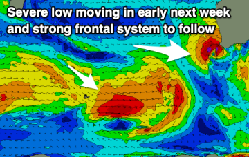
Easing surf with deteriorating conditions over the weekend, worsening next week as a severe, slow moving mid-latitude low moves in from the west.
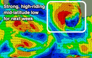
Make the most of the coming cleaner conditions and fun swell as next week will be mostly a write-off thanks to a slow moving and high-riding mid-latitude low.
Plenty of swell and with initially poor conditions across the South West, improving later week.

