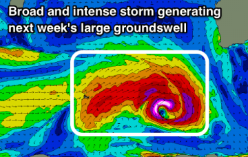
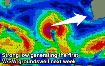
Nowhere to surf this weekend with stormy waves into Sunday, better next week with stronger groundswells and periods of clean conditions.
Primary tabs
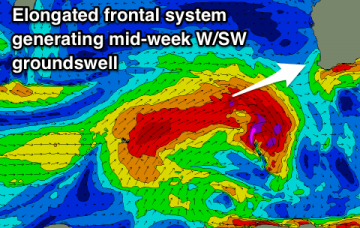
Clean easing waves tomorrow, onshore into Friday and Saturday. Stormy increase in large swells Sunday, with windows of cleaner conditions into next week as a secondary secondary large W/SW groundswell moves in.
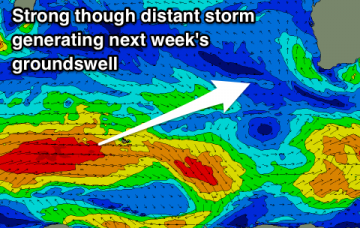
Building groundswell energy over the coming days with favourable winds, larger swells developing for next week.
OK conditions tomorrow, cleaner from Sunday with small surf. Fun new groundswell for next week though inconsistent with favourable winds.
Make the most of tomorrow with smaller swells but generally favourable winds expected for the rest of the period.
A large long-period SW groundswell is due through the week with offshore winds, easing into the end of the week as winds deteriorate.
Clean conditions all day tomorrow as the surf eases, followed by fun pulses of swell into early and later next week. One day of dicey winds in the mix.
Very inconsistent long-range W/SW groundswell building through tomorrow, easing Friday with improving winds. Smaller reinforcing swells for Sunday and early next week.
Strong W/SW groundswell tomorrow but with generally average winds besides a small window to the north. Long-range swell to end the week as winds improve and fun waves from the weekend and into next week.
A fun weekend across swell magnets, with stronger groundswells from Tuesday next week with good winds.

