Plenty of swell incoming with improving winds from mid-week
Western Australia Surf Forecast by Craig Brokensha (issued Monday 24th September)
Best Days: Perth and Mandurah early tomorrow and Wednesday morning, Thursday and Friday all regions, the South West on the weekend
Recap
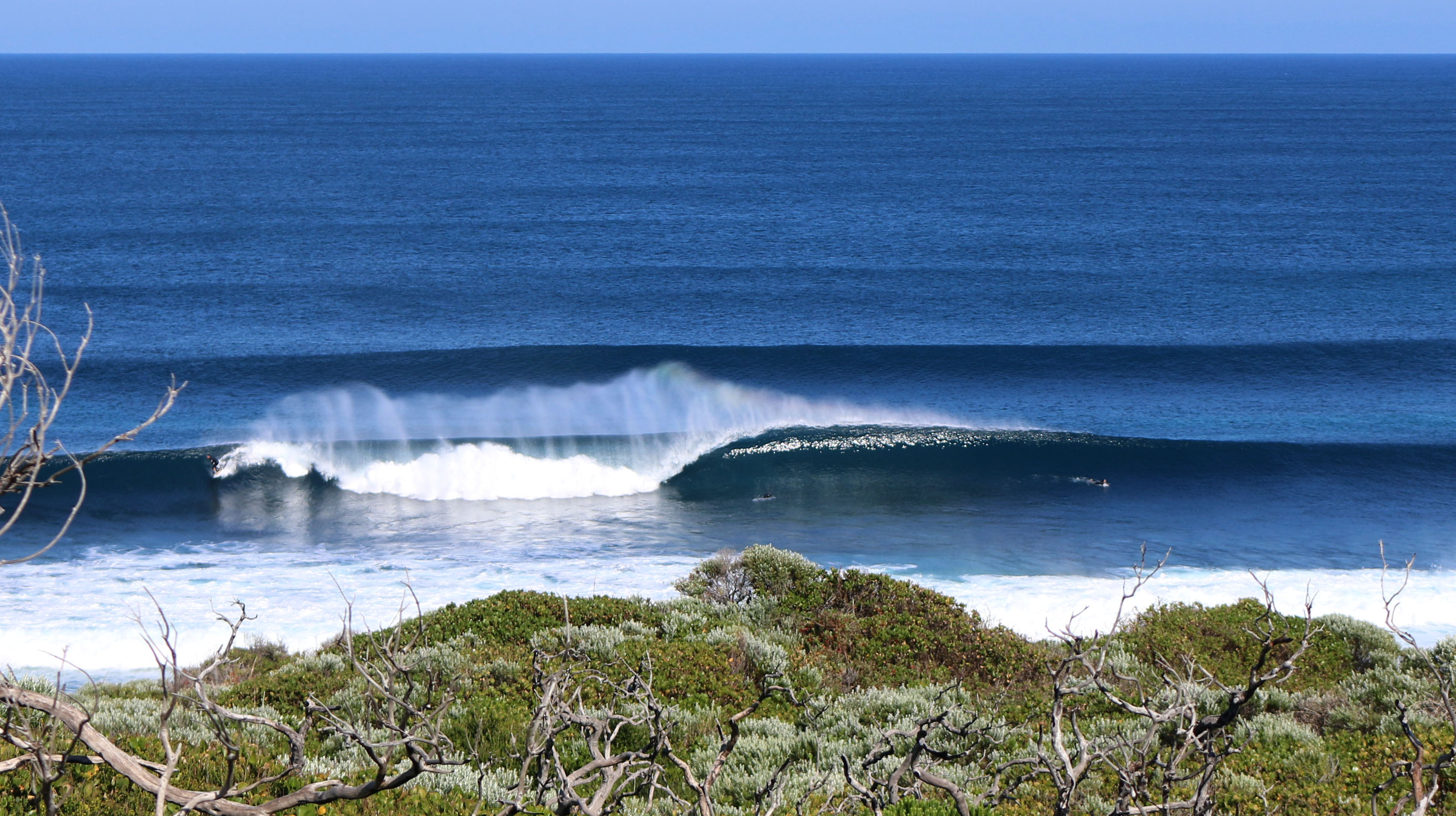
Super fun waves across the South West all weekend with a building swell Saturday, cleanest and best as it eased Sunday morning (below by Terri Sharpe), while Mandurah reported an unexpected spike in swell to 2-3ft Saturday morning, smaller Sunday. Perth remained around a small 1-2ft all weekend.
This morning all coasts were smaller with variable winds and not that great a surf. A new W/SW groundswell has started to show on the buoys and local surf cams but winds are now onshore.

Today’s Forecaster Notes are brought to you by Rip Curl
This week and weekend (Sep 25 - 30)
The new W/SW groundswell currently showing on the coast was generated by a tight and intense mid-latitude low during the weekend. Unfortunately the remnants of the low are expected to move in tomorrow bringing onshore winds.
Margs should see easy 6-8ft sets on the coast, spoilt by a moderate to fresh W/SW breeze, with 3ft sets in Mandurah and 2ft to likely 3ft waves across Perth with early variable winds before giving into the onshore.
Onshore winds will unfortunately linger into Wednesday out of the SW, while Perth and Mandurah should see early SE breezes and easing surf from 2-3ft and 2ft respectively.
Of greater importance is our larger though less consistent and distant long-period W/SW groundswell due later week.
This swell begun production last Thursday as a vigorous and broad storm developed under South Africa, projecting a fetch of severe-gale W/SW winds through our far western swell window.
The storm had a series of embedded storm-force fetches and continued moving slowly east before breaking down across the Heard Island region today.
An inconsistent but large long-period W/SW groundswell has resulted, with the forerunners expected to arrive Wednesday evening ahead of the groundswell proper building through Thursday and peaking overnight easing Friday.
Size wise Margs should build gradually to 8ft across swell magnets mid-late afternoon Thursday, though inconsistent and ease from a similar size Friday morning, with infrequent 3ft sets in Mandurah and 2ft+ Perth.
Winds are looking good with a SE tending S/SE breeze on Thursday and then gusty E/SE breeze persisting most of Friday.
The swell will continue to ease into the weekend as offshore winds persist out of the E/SE with a new SW groundswell due to fill in Sunday.
The source of this swell and a slightly bigger pulse Monday will be an elongated and persistent fetch of pre-frontal W/NW gales, moving in from the southern Indian Ocean, edging closer towards us through the weekend.
The first pulse should see 4-5ft waves across the South West, 1-2ft in Mandurah though fairly tiny in Perth, while the secondary increase looks to be more to 5-6ft, if not a touch bigger.
We then may see an even larger longer-period S/SW groundswell emanating from a very significant polar low forming south-west of us early next week. More on this Wednesday though.


Comments
Excellent photo.