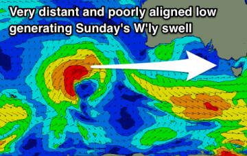
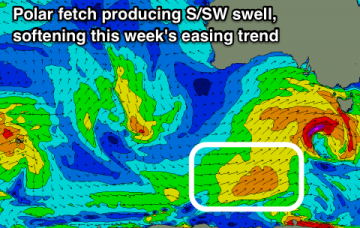
Easing surf with improving winds, while the weekend and early next week look very marginal. W'ly swells from mid-late next week with dicey winds.
Primary tabs
Large surf tomorrow though winds won't be perfect, similar Wednesday. Fun waves across both coasts to end off the week, options on the beaches for the weekend.
Poor tomorrow ahead of a fun swell and workable winds for all locations Sunday, larger and more powerful from Monday and only for experienced surfers.
New swell with improving conditions tomorrow, better Friday but smaller. Good swells from Sunday ahead of a very significant groundswell early next week.
Easing surf with great winds tomorrow, and a fun day on the beaches later week. Larger and more significant developments into the longer term.
A good swell and windows of favourable conditions in selected spots over the weekend, with more options presenting themselves across the state next week with fun swells.
We've got plenty of surf on the way, as an extended series of winter fronts push through our swell window. More in the Forecaster Notes.
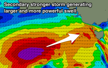
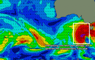
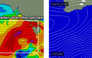
There’s been no major change to the dynamics of the low generating this new swell - satellite data captured a healthy fetch of gale to storm force winds in our swell window on Sunday, and the latest model observations show the core winds are likely to peak later this afternoon, just W/SW of Tasmania (see below). More in the Forecaster Notes.
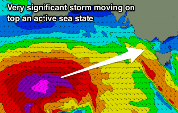
A complex series of powerful lows will develop south of the continent over the weekend, migrating through our near swell window into the start of next week and delivering a period of very large, windy surf for the state.
Our current blocking pattern will break down over the coming days, with one heck of a complex, powerful weather progression expected to push through our immediate swell window from Saturday through Wednesday. More in the Forecaster Notes.

