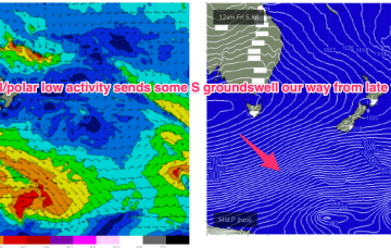
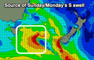
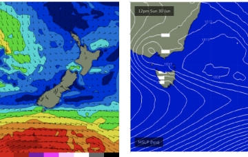
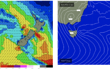
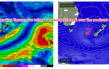
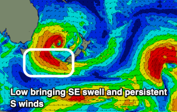
Although S’ly winds will be problematic until Fri there’ll some swell to play with as low pressure remains in the Tasman, with a slingshot fetch expected as the low moves N during the week and some sideband energy for NETas.
Primary tabs
A deepening mid-latitude low moving across us will bring some northerly windswell followed by short-range southerly energy.
By Sun morning we should see a low NW of Tas with a secondary system further away in the Tasman towards the South Island.
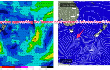
Models have been flip-flopping but we are starting to have some confidence on a frontal system and the cut-off low entering the Tasman this weekend or early next week.
Winds may shift more N’ly through Bass Strait and up towards the South Coast later Thurs into Fri, bringing a spike in NE windswell.
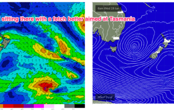
Winds feeding into the southern flank of the low are well aimed at Tasmania and we’ll see more strong SE tending E/SE swell tomorrow.
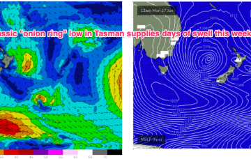
That low is expected to slowly drift and dissipate through the week, maintaining elevated surf through to mid-week with a very slow easing trend in place and a pulse of E/SE swell Thurs.
A secondary front pushing into the Tasman coalesces with a deepening low near New Zealand and the system then retrogrades back into the Tasman over an already active sea state delivering powerful E/SE swell before taking up residency in the Central Tasman for a few days next week with a slow, slow easing in big swells expected.
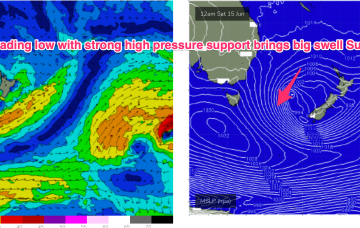
Into the weekend and the low retrogrades back towards Tasmania over the weekend with plenty of size expected from the S/SE-SE.
The coming period will be dominated by south and then south-east swell energy.

