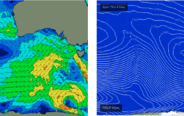
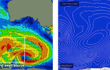
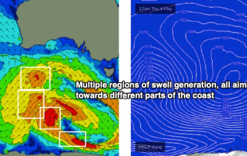
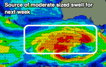
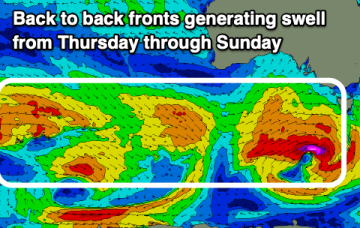
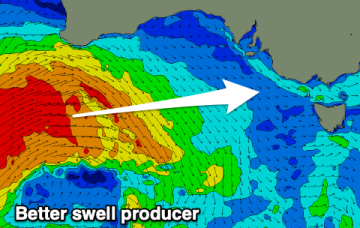
It's a real shame too as there's a decent groundswell inbound
Primary tabs
Today’s gusty onshore wind is expected to rapidly ease into Thursday, so surface conditions should improve quite a bit.
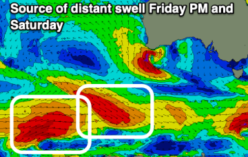
Friday’s late frontal system will be associated with a deep, slow moving low sitting at much lower latitudes than those systems influencing the region over the coming days.
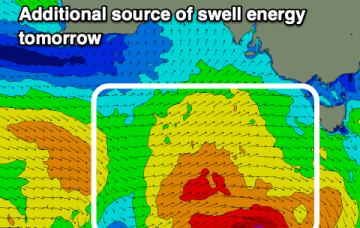
There's plenty of swell due from this afternoon through all of next week with the South Coast being cleanest and most workable.
Conditions won't be as nice as we've seen but there'll still be plenty of swell and windows to work around.
A less reliable outlook heading into the end of the week with the South Coast fairing best over the coming days.
The swell will drop back to the 1-1.5ft range on the Mid Coast but there'll be plenty of quality days for the South Coast.
The winds and size will be best over the coming days on the Mid Coast with plenty of days to target the South Coast.
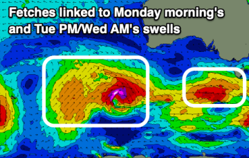
There's still plenty of westerly swell on the way with winds from all directions opening up plenty of options.
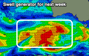
We've got a ton of westerly swell due this period and with winds favouring nearly all locations at times. A good autumn run.

