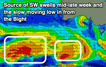
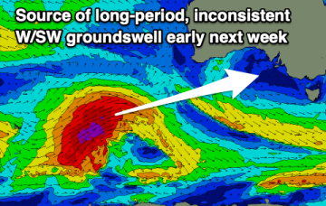
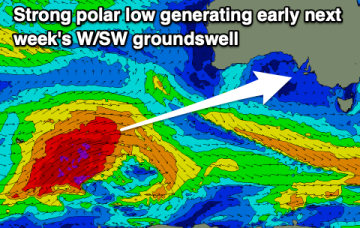
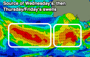
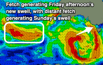
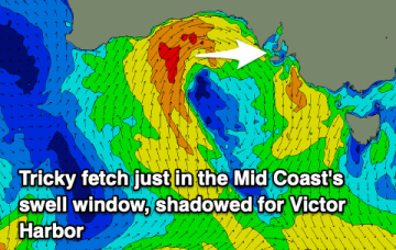
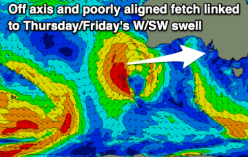
We've got a strong, building W/SW groundswell as NW winds favour the South Coast. An onshore change is due tomorrow, cleaner from Wednesday.
Primary tabs
Plenty of good surf days ahead for the South Coast with a couple of windows for the Mid Coast.
Plenty more swell for the coming days with slowly improving winds and conditions, best on the weekend.
We've got a windy couple of days with tons of swell, cleaning up down South from later week and great into the weekend.
Plenty of swell and improving winds through tomorrow, great on the South Coast Sunday. Lots of swell but tricky winds next week.
Tricky winds and swells this period but with plenty of size out of the west from Friday.
Nothing of note this week once winds go onshore this afternoon. Better surf into the weekend.
Fading waves on the Mid Coast with slowly improving conditions, better down South with a sizey new S'ly swell and favourable winds.
Plenty of swell from the west, then larger from the south on the weekend but winds are tricky and not ideal.
There'll be some fun westerly swell into the end of the week but winds will spoil the Mid Coast. Try the South Coast over the coming days.

