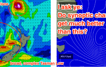
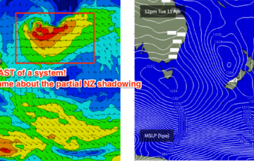
We’re still looking at a couple of tropical cyclones in the South Pacific over the forecast period.
Primary tabs
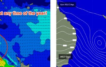
A rebuilding trough of low pressure over the Coral Sea will freshen trade winds in our mid range swell window and thus kick up a fun E’ly swell for SE Qld this weekend.
A strong ridge extends across the Central/Northern Tasman Sea, aimed up into the Coral Sea. This fetch is stationary, aimed nicely into the Coral Sea and will continue to pump out similar sized surf over the coming days.
The next week looks unreal for the SE Qld points.
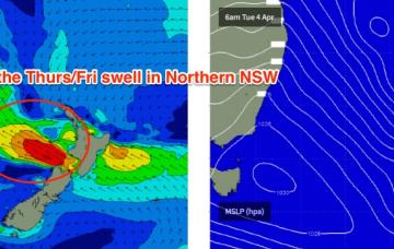
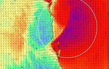
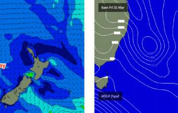
The remains of TC Debbie are tracking southwards, and will merge with a northwards advancing southerly change that’s due to push across Northern NSW overnight Thursday and into Friday morning.
As it turned out, TC Debbie developed a little more slowly than initially thought, tracking very slowly to the mainland but at the same time, broadening the width of the fetch as it strengthened. Although right on the periphery of the swell window, this has resulted in a much bigger swell than initially expected.
TC Debbie is expected to form off the Northern Qld coast this weekend. Whilst this system is well and truly outside of SE Qld’s swell window, we may in fact see a handful of super exposed north facing locations picking up some small, rare northerly swell from the current fetch around the low's northwest quadrant.
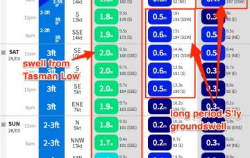
Our current trade swell is now starting to ease and will continue a downwards trend into Thursday and Friday.
Our primary swell generating system right now is a broad ridge through the Northern Tasman Sea. It’s expected to weaken very slowly over the coming days, and in doing so will bring about a gradual drop in surf size through the middle to latter part of the week.
It’s been an interesting, complex couple of days in weather-model land.

