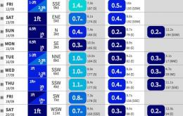
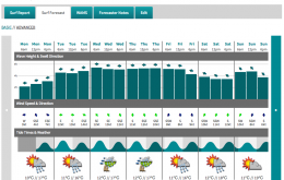
Overall it’s a pretty good weekend to consider non-surfing activities.
Primary tabs
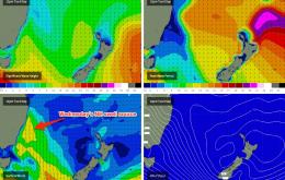
The fetch responsible for today’s NE swell is already realigning itself away from our swell window, and weakening at the same time, so we’re not going to see much leftover activity into Thursday.
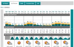
This event is expected to reach a peak overnight, and we’re actually looking at a brief wind of fun waves sometime on Wednesday morning, in conjunction with a front due to cross the coast.
No changes to the weekend forecast, except for a minor degree of manoeuvrability in the size department.
Using today’s swell as a common baseline for the forecast period, we can safely assume that wave heights are going ease considerably in size over the coming days.
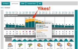
However by no means will this be a small event elsewhere - model data has upgraded this swell significantly in the last 24 hours, and we’re looking at some macking waves across the Sydney basin on Wednesday.
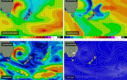
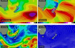
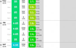
A retrograding low in the central Tasman Sea is generating a strong renewal of SE swell that’s going to provide some large waves through Saturday.
There’s no shortage of surf on tap for the rest of the working week.
We’ve been anticipating a strong round of E/NE swell for quite some time but seeing as we’re quite close to proceedings, it’s time to firm up the specifics.
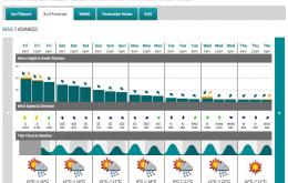
Jeez we’ve got a dynamic period of waves on the cards next week.

