/reports/forecaster-notes/south-east-queensland-northern-new-south-wales/2019/03/11/extended-run
thermalben
Monday, 11 March 2019
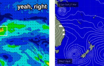
There’s a lot of interesting features on the long term charts.
/reports/forecaster-notes/south-east-queensland-northern-new-south-wales/2019/03/08/patchy-short-term
thermalben
Friday, 8 March 2019
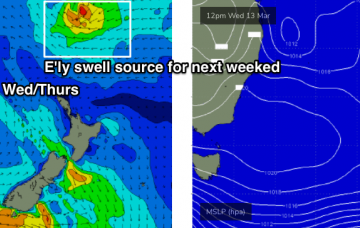
There’s not a whole lot of excitement on the forecast charts. But there will be waves if you’re keen.
/reports/forecaster-notes/south-east-queensland-northern-new-south-wales/2019/03/06/average-run-surf
thermalben
Wednesday, 6 March 2019
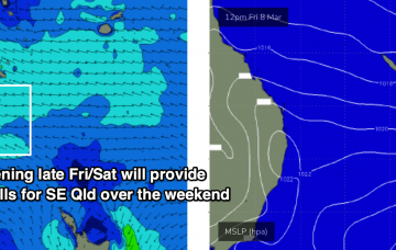
It’s not a good weekend ahead. But there are some interesting options, mainly for Northern NSW.
/reports/forecaster-notes/south-east-queensland-northern-new-south-wales/2019/03/04/very-good-though
thermalben
Monday, 4 March 2019
In short: make the most of the next few days.
/reports/forecaster-notes/south-east-queensland-northern-new-south-wales/2019/03/01/another-long
thermalben
Friday, 1 March 2019
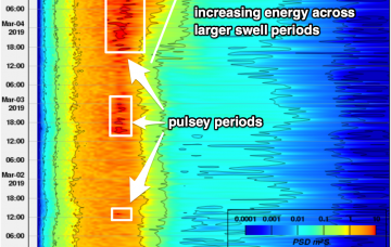
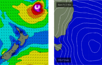
We have to be careful not to look at the model guidance in isolation, because it’s combining swell trains. More in the Forecaster Notes.
/reports/forecaster-notes/south-east-queensland-northern-new-south-wales/2019/02/27/easterly-swells
thermalben
Wednesday, 27 February 2019
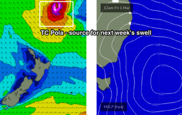
The latest model guidance has slowed TC Pola down a little, which has increased its size potential - though delayed its arrival until very late Sunday or early Monday.
/reports/forecaster-notes/south-east-queensland-northern-new-south-wales/2019/02/25/endless-summer
thermalben
Monday, 25 February 2019
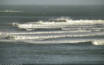
Ex-TC Oma is moving to the north, but in its wake we’re seeing a broad, stationary ridge strengthen across the Northern NSW, which will maintain a steady supply of useful trade swell all week.
/reports/forecaster-notes/south-east-queensland-northern-new-south-wales/2019/02/22/surf-size-tc-oma
thermalben
Friday, 22 February 2019
TC Oma has weakened to Category 1 status, but will strengthen back to Category 2 into Saturday morning.
/reports/forecaster-notes/south-east-queensland-northern-new-south-wales/2019/02/20/massive-windy
thermalben
Wednesday, 20 February 2019
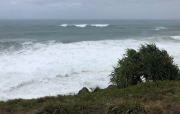
To be honest, SE Qld and Far Northern NSW coasts simply aren’t conditioned for swell events of this magnitude. More in the Forecaster Notes.
/reports/forecaster-notes/south-east-queensland-northern-new-south-wales/2019/02/18/large-cyclone
thermalben
Monday, 18 February 2019
On Sunday evening, the world’s leading atmospheric model (ECMWF) bucked the trend: keeping TC Oma off the SE Qld coast for a few days and then actually tracking it north, ahead of a coastal crossing mid-next week.

