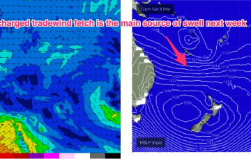
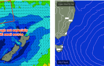
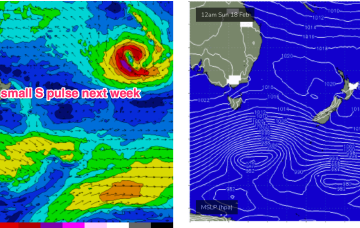
Classic late Summer pattern next week with high pressure straddling New Zealand, a monsoon trough strung across Northern Australia extending into the South Pacific and a long, broad tradewind fetch between the two broadscale atmospheric features. The fetch is so broad and long that we’ll see quite an energetic E/NE swell propagate down the NSW Coast.
Primary tabs
We currently have a deep, winter-calibre double-headed low traversing the lower Tasman. Current ASCAT (satellite windspeed) passes show a long fetch of severe gales in the southern swell window and wave buoys are all in an aggressive upwards curve as strong S swells build along the Southern NSW Coastline.
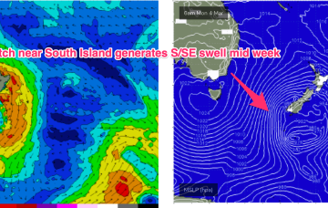
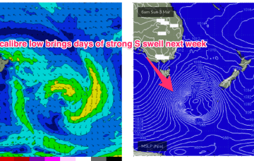
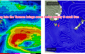
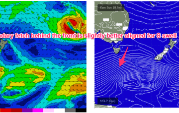
Models are holding steady on a winter calibre low tracking well to the south- south-east of Tasmania during Sun and traversing the far Southern Tasman through Mon.
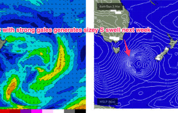
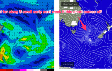
Some quiet days then follow before a much more robust front and low enter the lower Tasman late in the weekend driving some sizey S swell up the coast early next week.
We’ve got a weak, troughy pattern in the Tasman Sea, with a minor cold front passing to the SE of Tasmania and a new high pressure cell poised to enter the Tasman in it’s wake. The high cell is weak so we’re looking at a fairly uninspiring end to Summer, with some mid week NE windswell for Southern NSW and small background E swells for the sub-tropics.
High pressure in the Bight with a trough moving up the coast and robust low (974hPa) moving under Tasmania sets the scene for the weekend.
The rest of the week looks pretty fun.
Lots of fun beachbreak surf on tap for this week.
High pressure belt remains strong with cells lined up to enter the Tasman. A monsoonal low in the Gulf of Carpenteria is generating a long cloud band down the east coast. A long, broad E’ly tradewind fetch extends from the Coral Sea into the South Pacific with the tail of the fetch in Tahitian longitudes.
Our current pattern of slow moving high pressure near New Zealand is still well entrenched with a modest cold front sweeping into the Tasman and bringing a S’ly change to temperate NSW. Multiple cells of reinforcing high pressure then one by one move into the Tasman, maintaining a weak ridge up the NSW Coast and a deep E’ly flow through the South Pacific and Eastern Coral Sea, with resulting E’ly swells favouring the sub-tropics for size.

