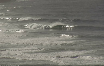
Not much surf is expected for the rest of the week.
Primary tabs
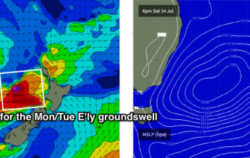
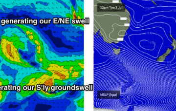
Last week, I discussed a flukey E’ly swell that was due to arrive very late today, and then peak overnight before easing through Tuesday, with the Far South Coast expected to see the most size.
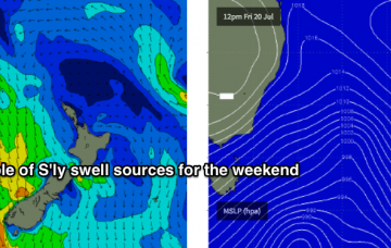
We’ve still got a strong south swell ahead for Saturday.
The models have strengthened the southerly flow around this trough-cum-low later Friday, though it’ll provide a short-lived peak in size that may occur overnight under the cover of darkness.
The strong, broad post-frontal fetch responsible for today’s impressive south swell is now exiting our swell window.
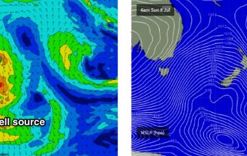
Sunday however is still on track for a strong south swell to build through the day as a strong series of fronts push through the lower Tasman Sea.
Confidence in the outlook for Thursday has plummeted. Main reason being: Monday’s read on the synoptics had anticipated a broad, slow upwards trend trough today, plateauing into Thursday mooring, then easing from Friday.
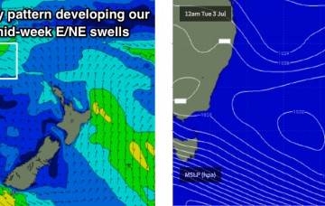
We've got a tricky week ahead with only flukey swell sources to work around.
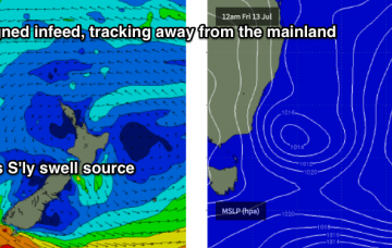
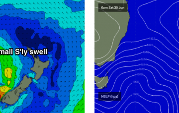
This will kick up a fresh south swell for Sunday, though it’ll only get into a handful of exposed south swell magnets as it glances the coast.
With today’s SE swell punching above its weight, it’s a fair consideration to add a little more size on Thursday’s projection.

