/reports/forecaster-notes/sydney-hunter-illawarra/2021/05/14/the-return-s-swells
James KC
Friday, 14 May 2021
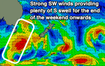
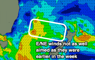
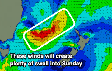
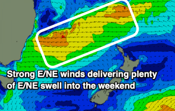
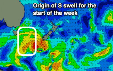
The last of E swell will fade out into tomorrow (Saturday) before a series of S swells fill in.
/reports/forecaster-notes/sydney-hunter-illawarra/2021/05/12/e-swell-fading-the-weekend-s-swells
James KC
Wednesday, 12 May 2021
Last of the E swell to fade into the end of the week while S swells make a return for the weekend.
/reports/forecaster-notes/sydney-hunter-illawarra/2021/05/10/more-e-swell-the-way
James KC
Monday, 10 May 2021
A smaller E swell will continue into the new week and with winds remaining mostly offshore there'll be waves to be had.
/reports/forecaster-notes/sydney-hunter-illawarra/2021/05/07/swell-slowly-ease-the-weekend
James KC
Friday, 7 May 2021
A solid swell will ease into the weekend. With decent winds there'll be clean waves on offer.
/reports/forecaster-notes/sydney-hunter-illawarra/2021/05/05/solid-surf-the-way
thermalben
Wednesday, 5 May 2021
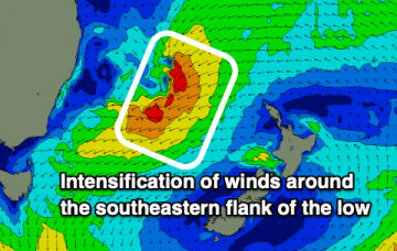
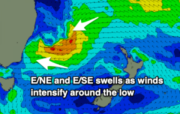
Larger waves will fill in tomorrow as a mid period E/NE swell forms thanks to persistent strong winds on the southeastern flank of the low.
/reports/forecaster-notes/sydney-hunter-illawarra/2021/05/03/solid-swell-the-weekend
James KC
Monday, 3 May 2021
Plenty of action as a low creates large swell at the end of the week and into the weekend.
/reports/forecaster-notes/sydney-hunter-illawarra/2021/04/30/slow-weekend-more-exciting-next-week
James KC
Friday, 30 April 2021
Small waves for the weekend but there's plenty more action on the way for next week.
/reports/forecaster-notes/sydney-hunter-illawarra/2021/04/28/tiny-the-weekend-more-action-next-week
James KC
Wednesday, 28 April 2021
Small to flat into the end of the week with just weak windswells over the weekend. More action next week.
/reports/forecaster-notes/sydney-hunter-illawarra/2021/04/26/weak-s-swell-then-tiny-the-weekend
James KC
Monday, 26 April 2021
A weak S swell followed by near flat conditions into the weekend. Looking better for next week.
/reports/forecaster-notes/sydney-hunter-illawarra/2021/04/23/s-pulses-over-the-weekend-and-start-next
James KC
Friday, 23 April 2021
A S groundswell will fill in over the weekend bringing nice waves especially for the mornings. Another pulse of S energy will fill in early next week before things go quiet later in the week.

