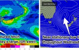
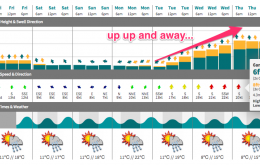
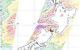
Wild conditions will continue on Thursday, with the swell peaking in the 10ft range. There will be a window of opportunity for protected southern ends early under south/southwesterly winds. More exposed spots will be huge and heavily wind affected.
Primary tabs
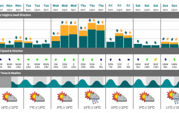
The surf will build rapidly on Wednesday before peaking at around 10ft on Thursday morning. This is a seriously big swell event accompanied by strong southerly winds. Protected southern corners will be the only workable options with protection from the wind and a more manageable size. Keep an eye out for early southewesterly winds each morning.
We’re looking at another round of southerly groundswell into Saturday, but it’ll probably be a little smaller than what we saw today.
Whilst the local fetch won’t generate much new swell for the coast, we still have plenty of energy on tap for the short term forecast period.
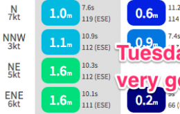
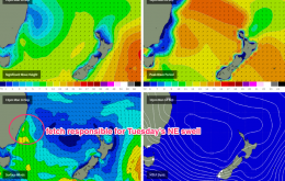
We’ve got a fun peaky NE windswell on target for Tuesday.
Today’s south swell is expected to ease further into Saturday, but a new southerly swell is expected to push through during the morning, originating from a series of strong but poorly-aligned fronts in the Southern Ocean on Wednesday and Thursday.
We’re looking at another strong day of swell for Thursday, from the same sources as today.
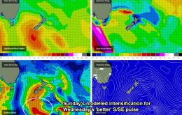
We’re at the start of an extended run of S/SE swell originating from a strong frontal progression south of New Zealand from late last week through the weekend, which is expected to reach a peak on Wednesday.
Today’s south swell will be well and truly on the way out by Saturday morning.
We’ve got a new pulse of E/SE swell of the cards, generated by a small, tight low pressure system that intensified off the West Coast of New Zealand on Tuesday morning.


