/reports/forecaster-notes/sydney-hunter-illawarra/2015/05/25/interesting-se-swells-way
thermalben
Monday, 25 May 2015
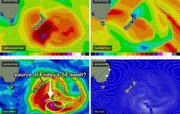
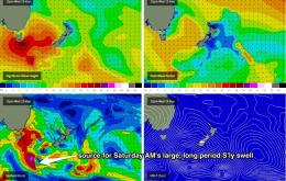
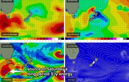
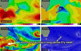
The weather system responsible for our expected S/SE swell tomorrow performed quite impressive, recording S’ly winds of 50-60kts immediately south of New Zealand over the weekend.
/reports/forecaster-notes/sydney-hunter-illawarra/2015/05/22/solid-easing-swell-over-weekend-good
thermalben
Friday, 22 May 2015
No major changes to the weekend forecast, except for a minor upgrade for early Saturday.
/reports/forecaster-notes/sydney-hunter-illawarra/2015/05/20/dicey-conditions-until-saturday-better
thermalben
Wednesday, 20 May 2015
A strong cold front is present racing up through the Southern Ocean and into the lower Tasman Sea, and this is generating a new S’ly groundswell that’s due to build during Friday.
/reports/forecaster-notes/sydney-hunter-illawarra/2015/05/18/small-surf-mid-week-onshore-and-solid
thermalben
Monday, 18 May 2015
Not much in the size department for the next few days.
/reports/forecaster-notes/sydney-hunter-illawarra/2015/05/15/easing-south-swell-mainly-small-next
thermalben
Friday, 15 May 2015
For the entire weekend the trend is simply downwards in south swell.
/reports/forecaster-notes/sydney-hunter-illawarra/2015/05/13/large-south-swell-bearing-down
thermalben
Wednesday, 13 May 2015
Lots of south swell for the next few days, with no real change to the outlook for the rest of the week.
/reports/forecaster-notes/sydney-hunter-illawarra/2015/05/11/lots-large-south-swell-way
thermalben
Monday, 11 May 2015
Right now there’s an impressive W/SW thru SW fetch of gales existing eastern Bass Strait, courtesy of a vigorous front that crossed the region overnight.
/reports/forecaster-notes/sydney-hunter-illawarra/2015/05/08/lots-south-swell-tap
thermalben
Friday, 8 May 2015
Looks like a great weekend ahead if you have a reliable south swell magnet up your sleeve.
/reports/forecaster-notes/sydney-hunter-illawarra/2015/05/06/initially-small-ahead-long-stretch
thermalben
Wednesday, 6 May 2015
On Friday, similarly small conditions will persist through the morning but a new south swell is expected to push through the middle of the day.
/reports/forecaster-notes/sydney-hunter-illawarra/2015/05/04/great-week-waves-ahead
thermalben
Monday, 4 May 2015
Lots of swell on tap this week with generally good conditions too.

